*I can’t mute the audio…
There is no such thing as plate tectonics or continental drift. The Earth has evidence everywhere that long term projects were carried out on a far more advanced level then most people can comprehend.
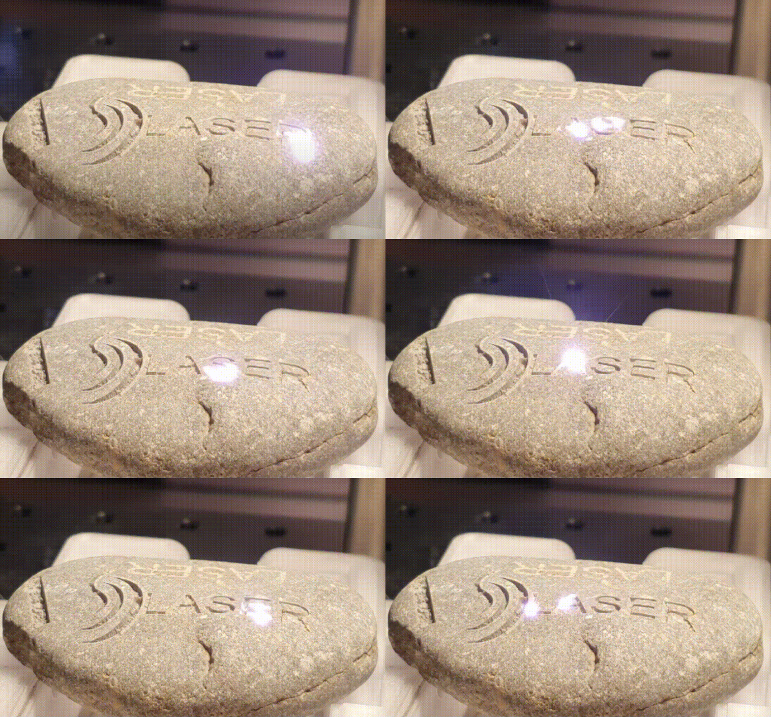
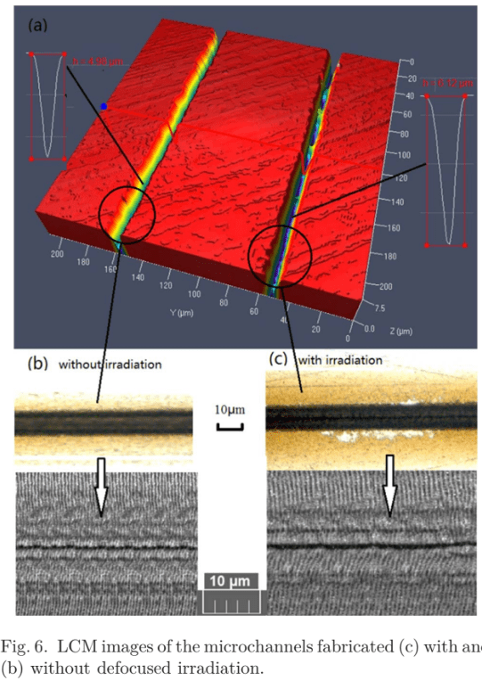
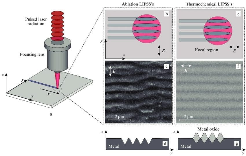
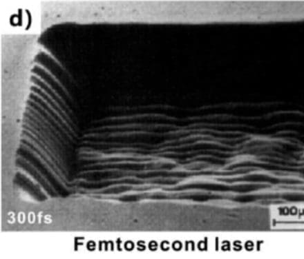
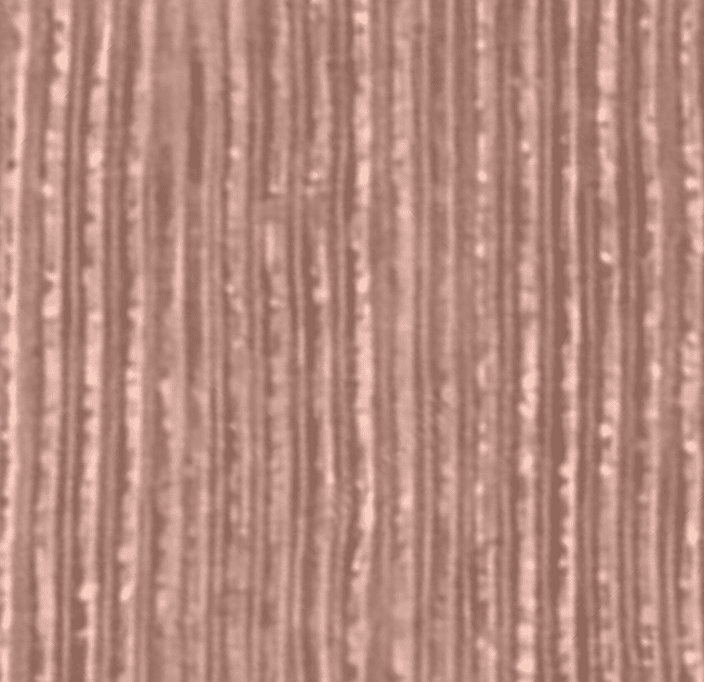
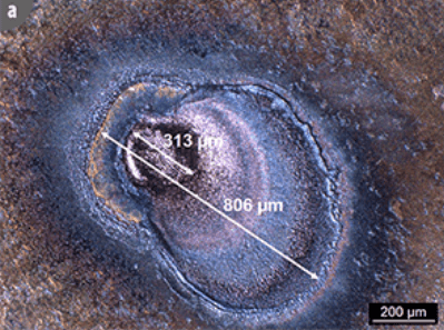
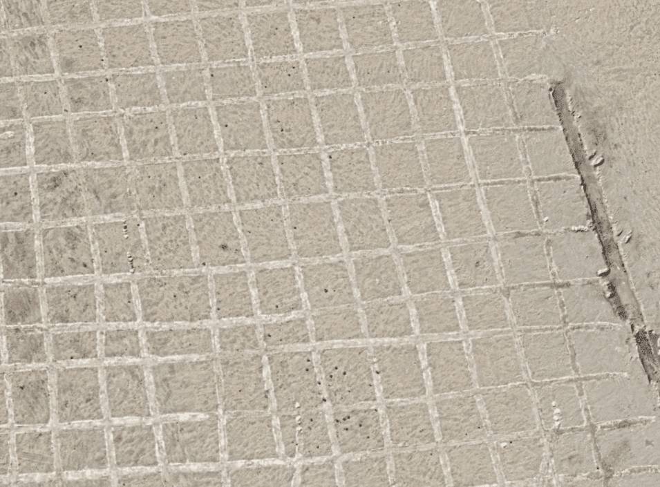
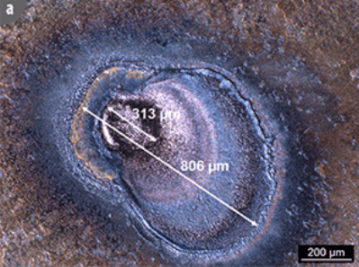
The laser etching on the left is a generalization of how the city grid and canals were cut into bedrock.
Vocabulary
What Does Wettability Mean?
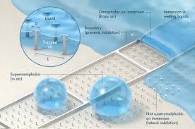
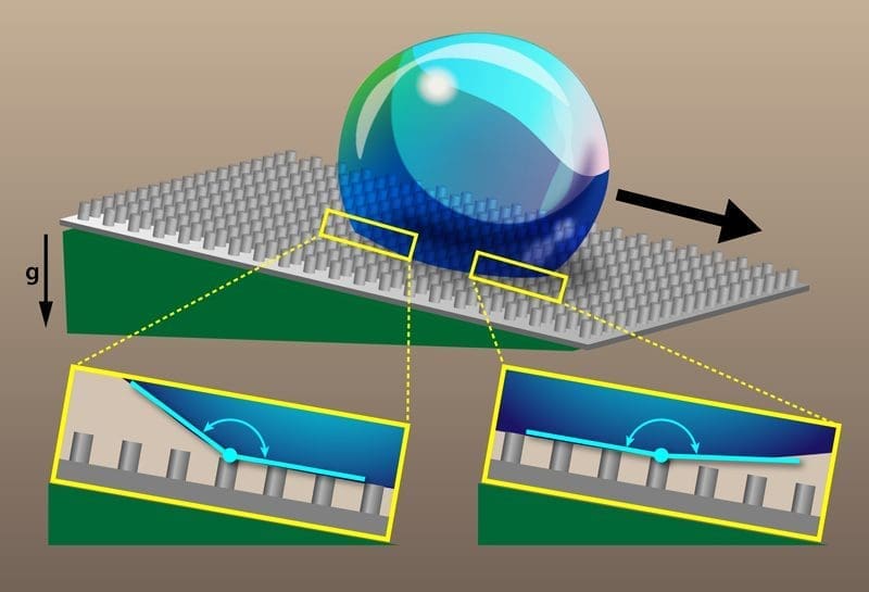
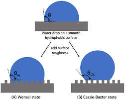
The wettability of a solid surface or fabric is defined as the ability of the surface to hold contact with a liquid. In other words, it’s the surface’s ability to be wetted by the liquid. Wettability is determined by the equilibrium of the surface energy between the solid, liquid and air (or other gas). Wettability is an important property when specifying coatings.
When a liquid drop falls on a solid surface, the liquid spreads across the surface until it forms a shape where the forces between the liquid, solid and air are in equilibrium. If a surface has a high wettability (e.g., glass) the liquid will spread completely. In contrast, if a surface has low wettability, the droplet will retain its shape (such as the case with some plastics).
Surfaces with high wettability are termed hydrophilic, and surfaces with low wettability are termed hydrophobic. This property has become the center of many materials science studies for the development of new and advanced materials, particularly in the fields of nanotechnology and nanoscience.
superhydrophobic surfaces- Surface that repels water , like a lotus flower
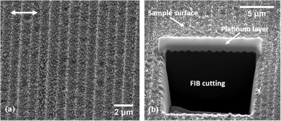
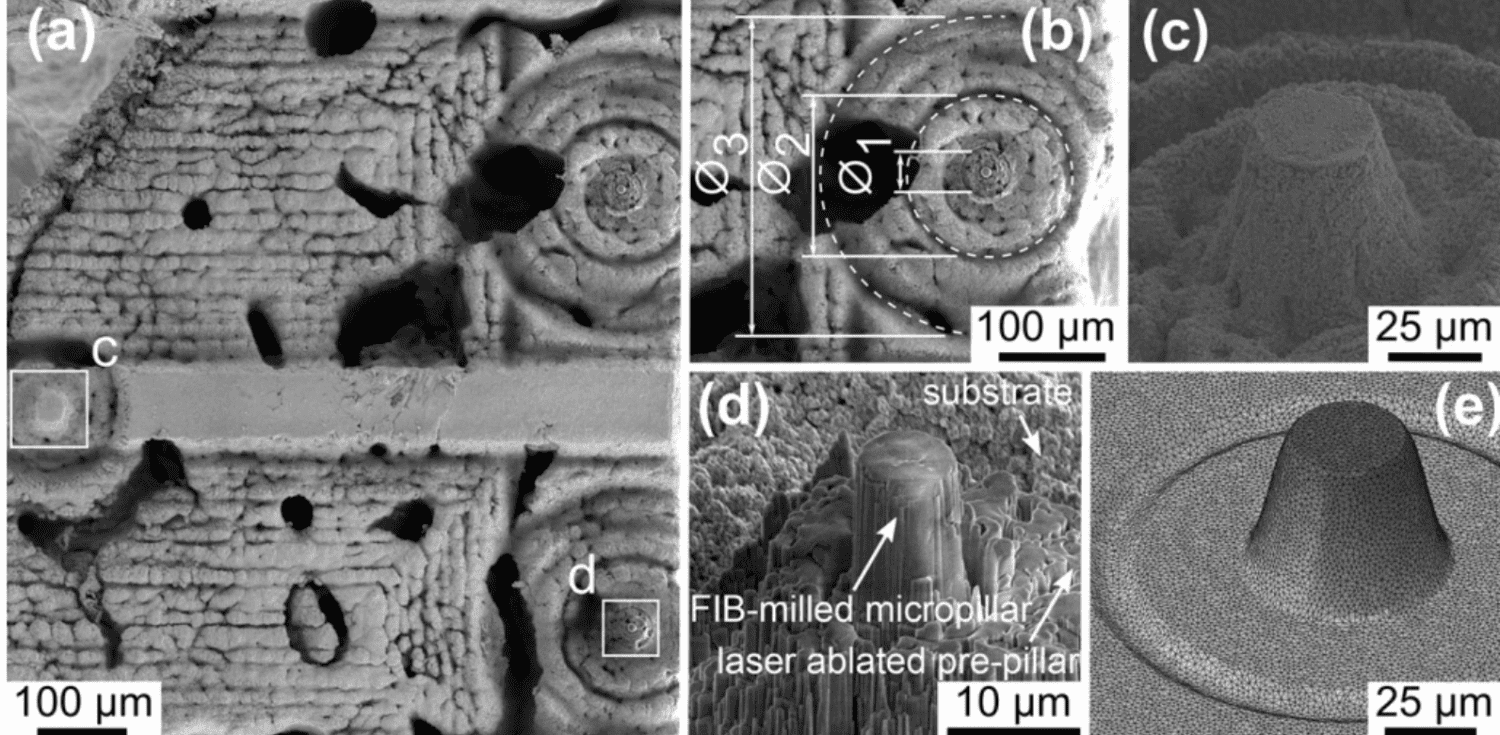
Focused ion beam milling and femtosecond laser ablation
Thermo Scientific Helios 5 PFIB Laser Systems combine plasma focused ion beam milling with femtosecond laser ablation and SEM (scanning electron microscopy) imaging. This “TriBeam” combination enables high-resolution imaging and analysis with in situ ablation capability, offering unprecedented material removal rates for fast millimeter-scale characterization at nanometer resolution.
The femtosecond laser can cut many materials at rates that are orders of magnitude faster than a typical FIB. A large cross-section (hundreds of micrometers) can be created in less than five minutes. Because the laser has a different removal mechanism (ablation versus the ion sputtering of FIB), it can easily process challenging materials, such as non-conductive or ion-beam-sensitive samples.
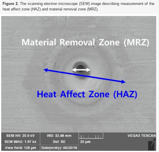
The extremely short duration of the femtosecond laser pulses introduces almost no artifacts such as heat impact, microcracking, melting, or those typical of traditional mechanical polishing. In most cases, the laser-milled surfaces are clean enough for direct SEM imaging and even for surface-sensitive techniques such as electron backscatter diffraction (EBSD) mapping.
We offer a broad product portfolio and advanced automation capabilities for applications such as transmission electron microscopy (TEM) sample preparation, atom probe tomography (APT) sample preparation, and 3D structural analysis.
3D Structural analysis
When combined with Thermo Scientific Auto Slice & View Software, TriBeam instruments provide 3D insight into sample structure by selectively removing (milling) the material for subsurface characterization. Digital reconstruction generates multi-modal 3D datasets that can consist of a variety of signals, including backscattered electron (BSE) imaging for maximum materials contrast, energy dispersive spectroscopy (EDS) for compositional information, and electron backscatter diffraction (EBSD) for microstructural and crystallographic information. The SEM capability of TriBeam instruments offers nanoscale details across a wide range of working conditions, from structural information obtained at 30 keV in STEM mode to charge-free, detailed surface information at lower energies. With unique in-lens detectors, TriBeam systems are designed for simultaneous acquisition of angular/energy-selective secondary-electron and BSE data. Fast, accurate, and reproducible results are provided by our unique SEM column design, which features fully automated lens alignments.
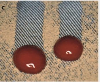
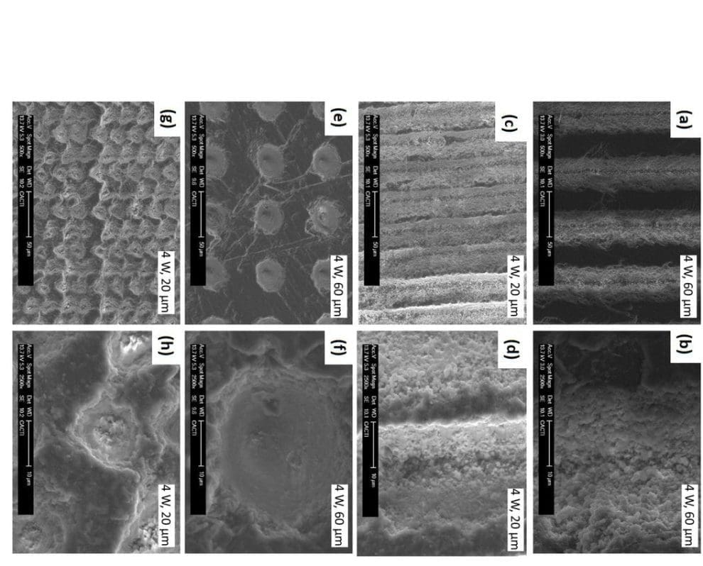
This work reports the laser surface modification of 304 stainless steel to develop superhydrophobic properties and the subsequent application for homogeneous spot deposition. Superhydrophobic surfaces, with steady contact angle of ∼154° and contact angle hysteresis of ∼4°, are fabricated by direct laser texturing. In comparison with common pico-/femto-second lasers employed for this patterning, the nanosecond fiber laser used in this work is more cost-effective, compact and allows higher processing rates. The effect of laser power and scan line separation on surface wettability of textured surfaces are investigated and optimized fabrication parameters are given. Fluid flows and transportations of polystyrene (PS) nanoparticles suspension droplets on the processed surfaces and unprocessed wetting substrates are investigated. After evaporation is complete, the coffee-stain effect is observed on the untextured substrates but not on the superhydrophobic surfaces. Uniform deposition of PS particles on the laser textured surfaces is achieved and the deposited material is confined to smaller area.
- Here is an article about electricity in outer space (LOL) Although it does give good evidence that disproves mainstream NASA explanations. Only, it applies the concept to other bodies and not the Earth
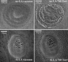
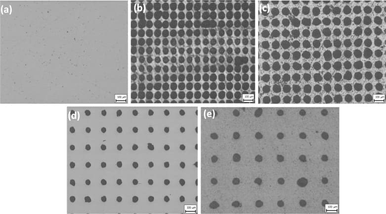
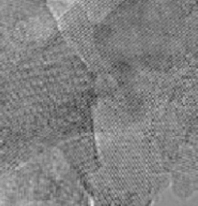
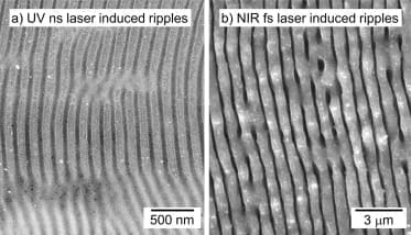
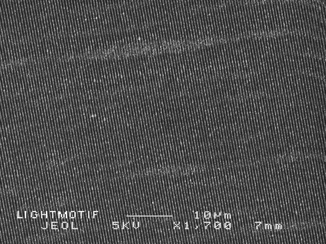
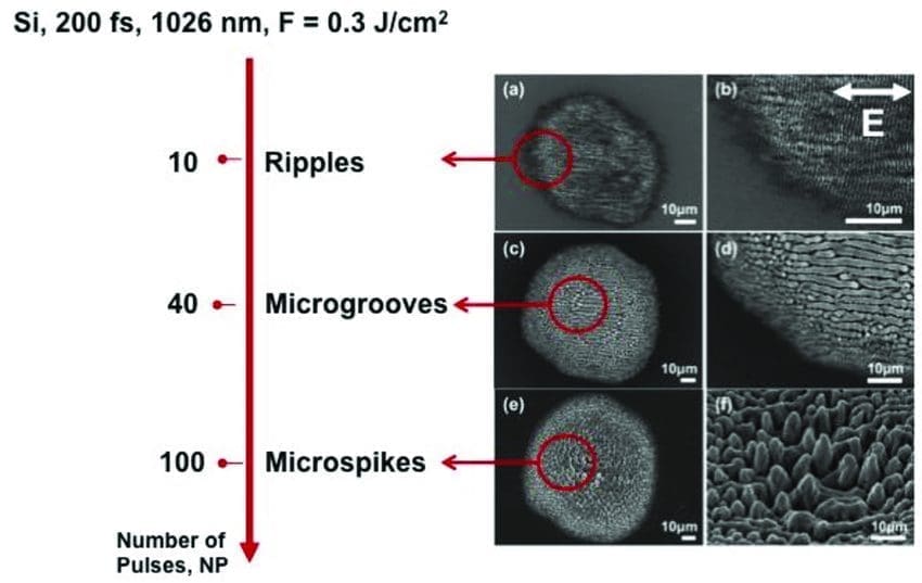
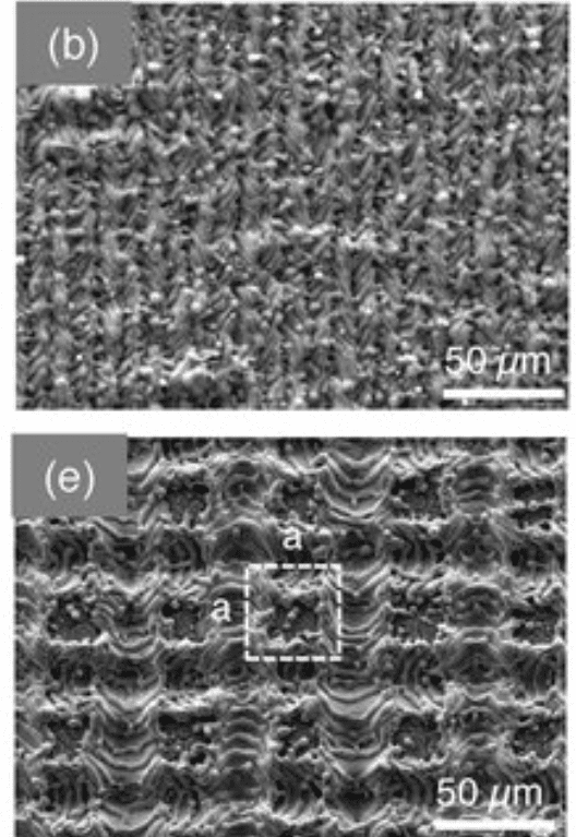
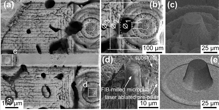
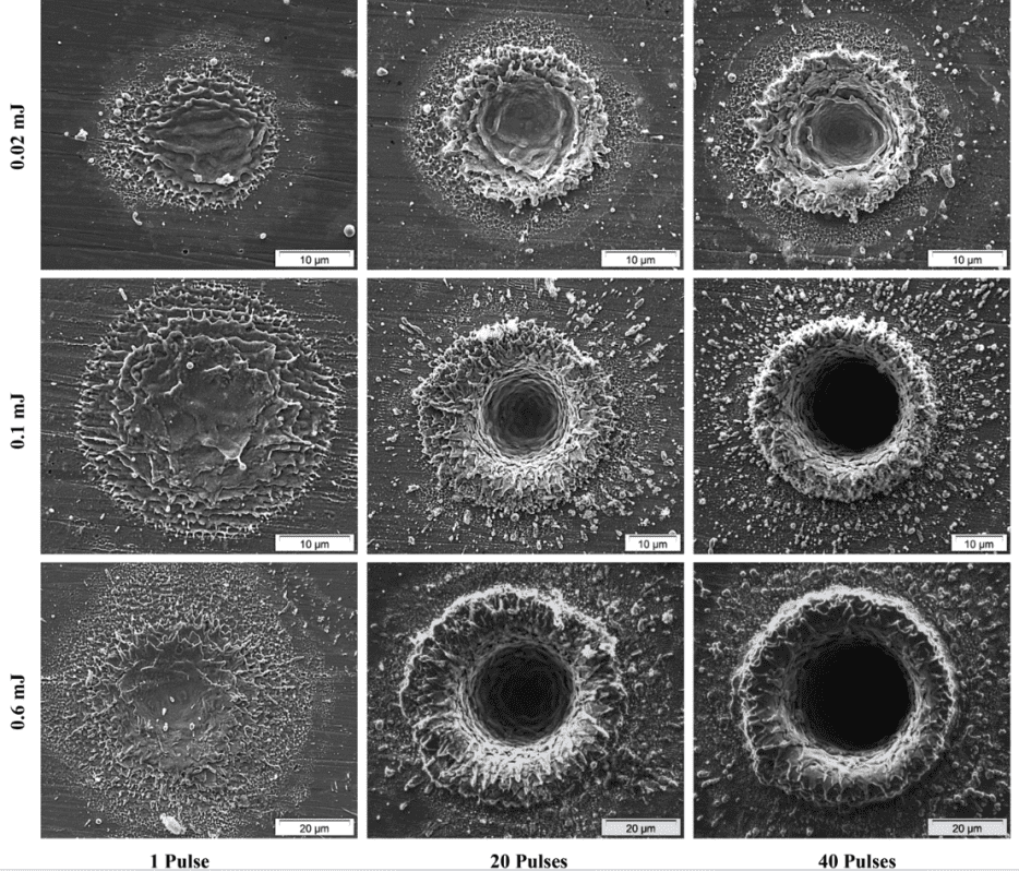
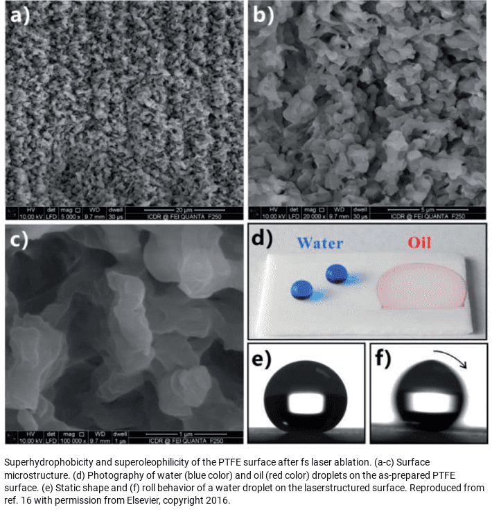
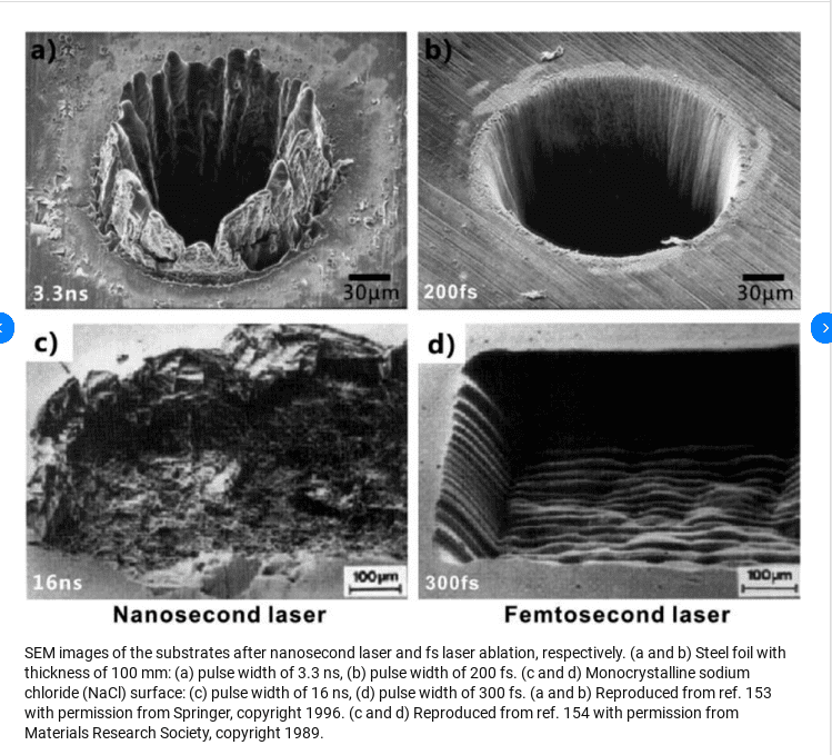

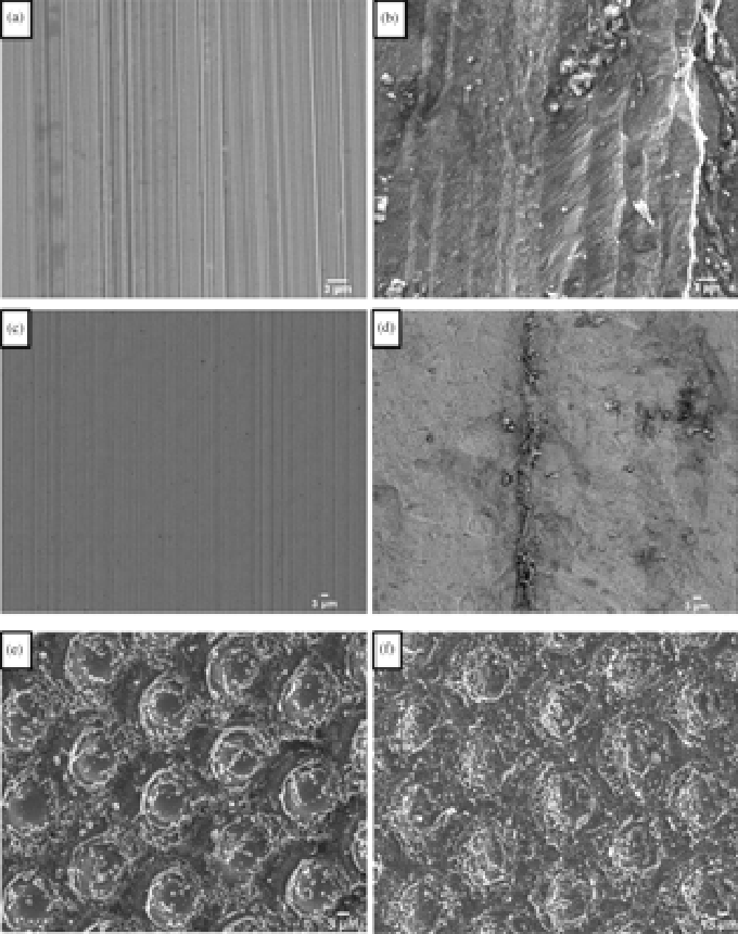


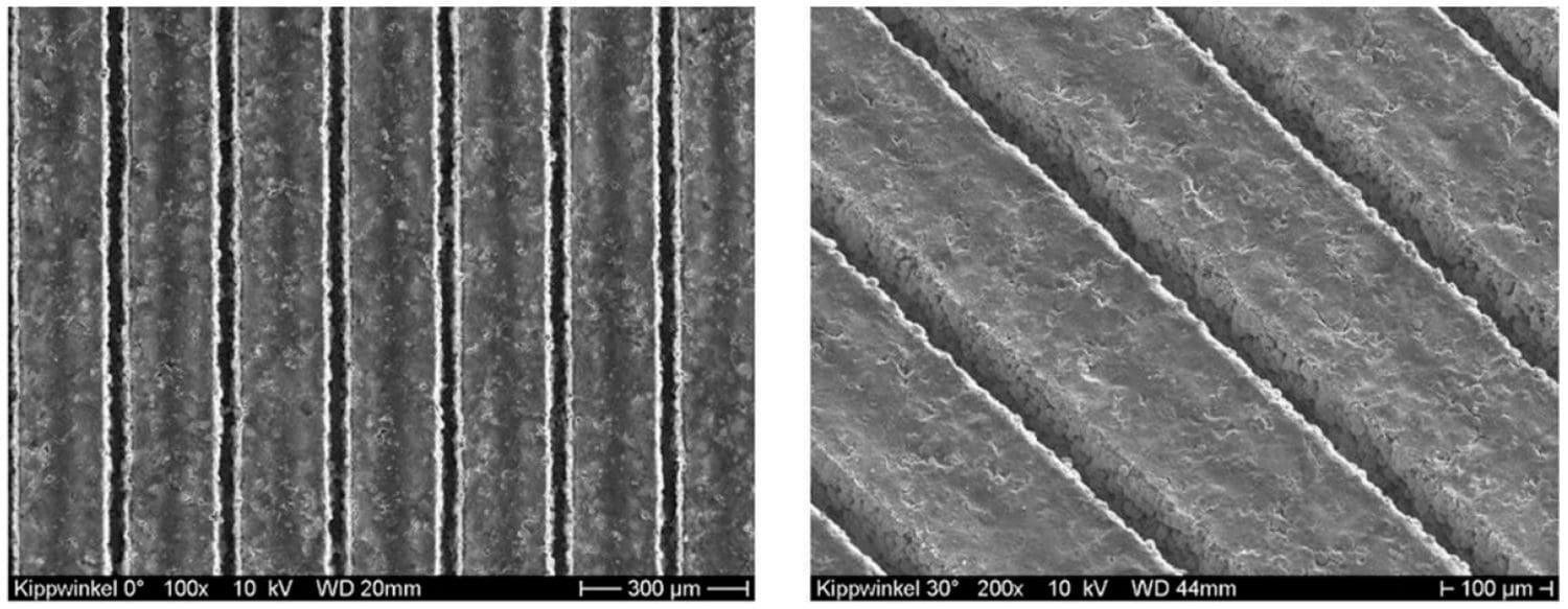
The track of a directed energy device leaves micro-grooves in the bottom that match the Earth grid
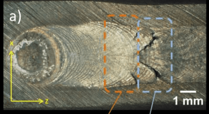
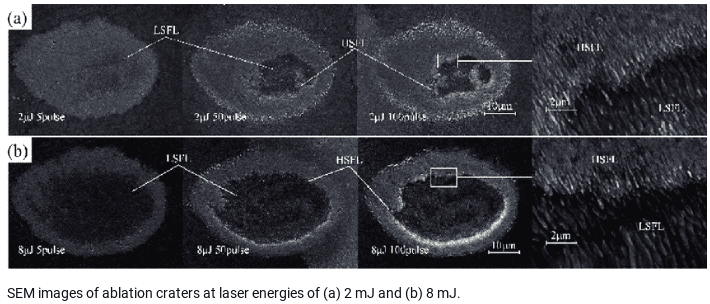
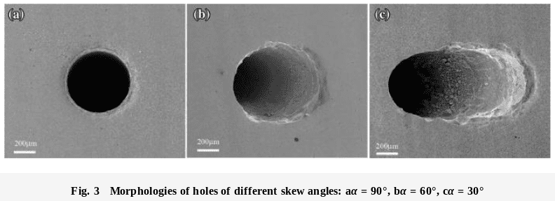

Directed Energy Borer/ Crater Maker

Gates of Hell pit in the Arabian desert is said to be a natural gas leak that caught fire and has burned continuously for decades. Maybe its a plasma beam ablation.
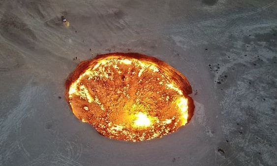
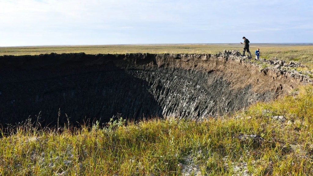
Exploding Sink Hole
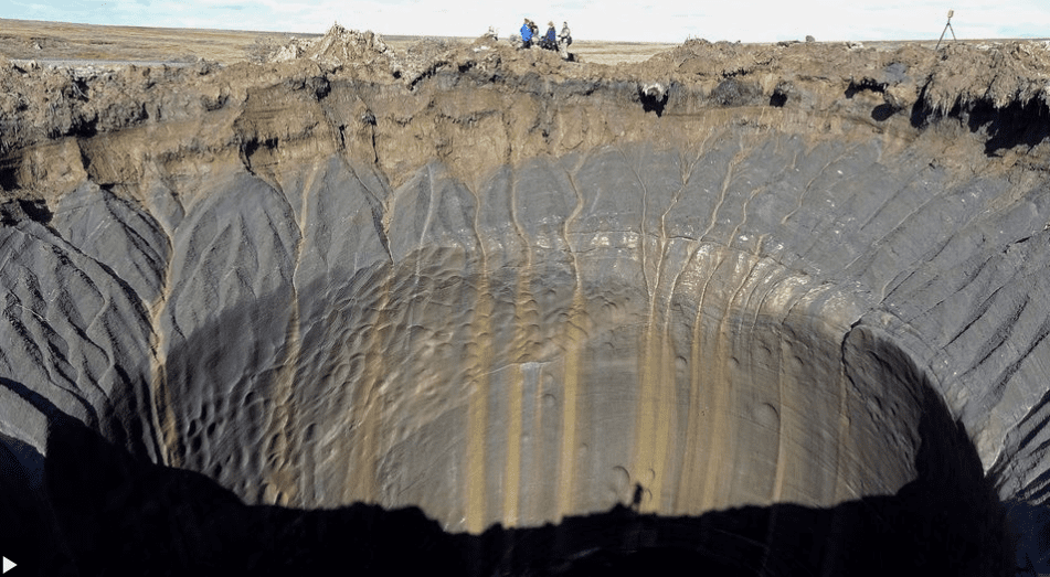
That hole, which was around 66ft (20m) wide and up to 171ft (52m) deep, was discovered by helicopter pilots passing overhead in 2014, around 26 miles (42km) from the Bovanenkovo gas field on the Yamal Peninsula. The scientists who visited it – including chief scientist of the Earth Cryosphere Institute, who has been studying the permafrost in Siberia for more than 40 years – described it as an entirely new feature in permafrost. Analysis of satellite images later revealed that crater – now known as GEC-1 – formed sometime between 9 October and 1 November 2013.
The latest crater was spotted by a TV crew as they flew past with a team of scientists from the Russian Academy of Sciences during an expedition with local authorities in Yamal. It brings the total number of confirmed craters to have been discovered on Yamal and the neighbouring Gydan Peninsula to 17.
Some scientists have compared the craters to cryovolcanoes – volcanoes that spew ice instead of lava – thought to exist in some of the distant parts of our solar system on Pluto, Saturn’s moon Titan and the dwarf planet Ceres. But as more Arctic craters have been studied in various stages of their evolution, they have become known as “gas emission craters”.


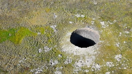

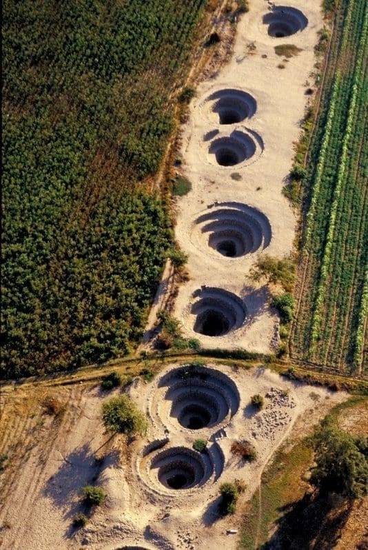
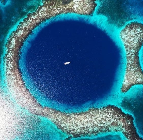
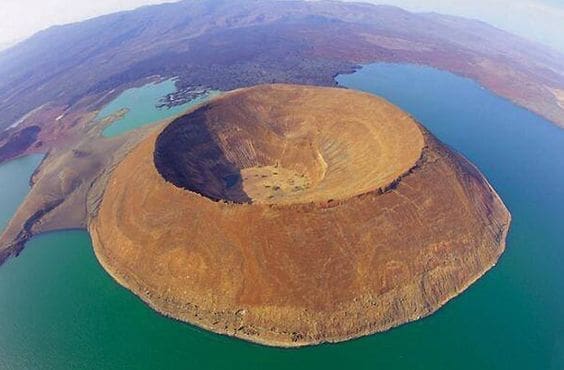
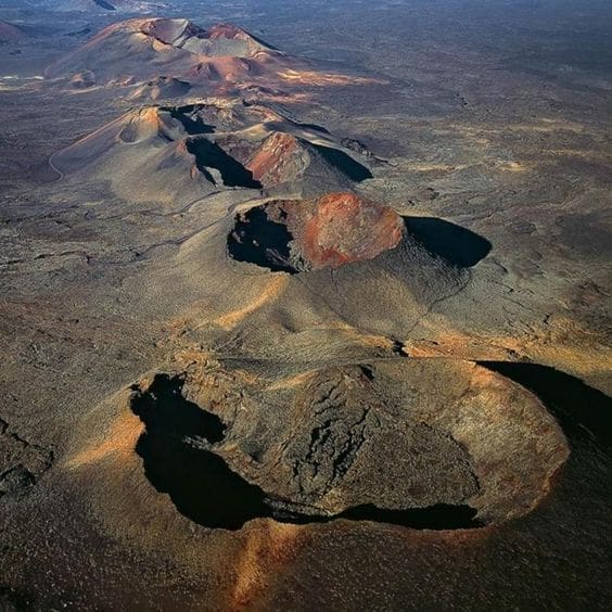
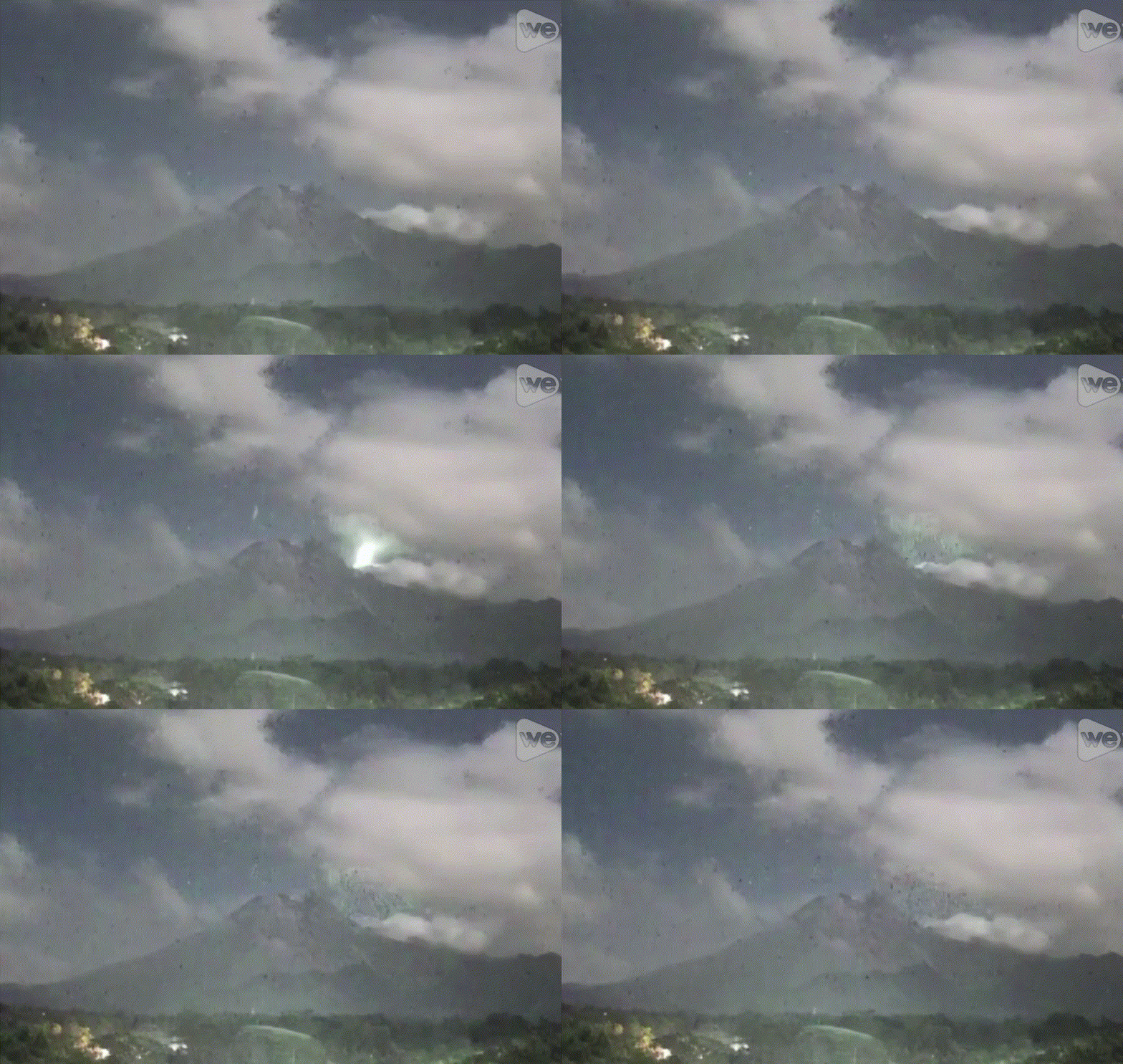
Volcanic Craters
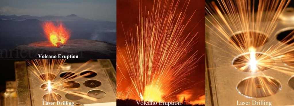
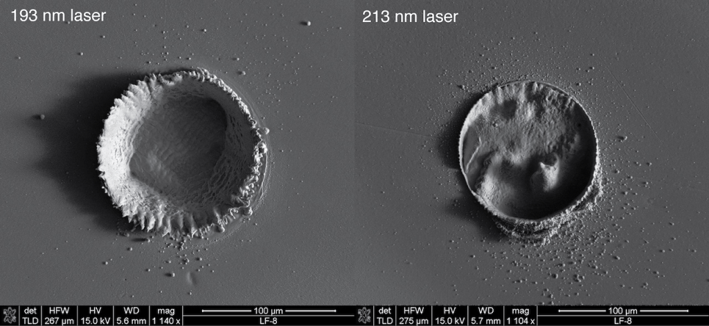
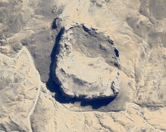


Schematics
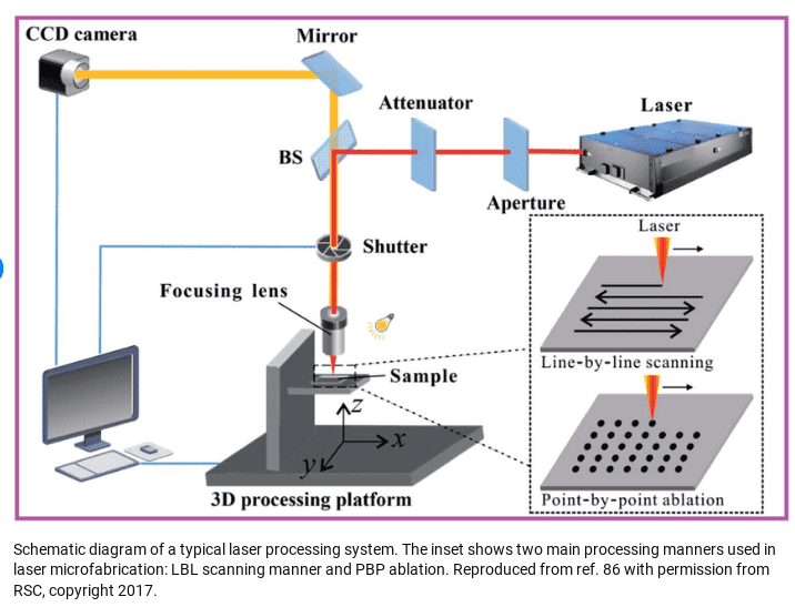
There are several variations depending on stuff like plasma or CO2. The components are pretty similar. Each has a lens, which comes up alot in my Sun Simulator reading. Unfortunatly after the big censorship drive that accompanied the Plandemic most of the sources of information where scrub from the internet. They call it the “Net” and the “Web” for a reason.


Sun Simulator

If you search for info on the Sun Simulator the results are science related, evidently there has been technology patented since the 60’s. Searching for an Artificial Sun will take you to the Chinese conspiracy to control the world results. Its always the Chinese, or Russians. They go hand in hand with the fake Chinese moon landing, as if ours or any countries are real… Except India, India’s just landed on the South Pole, that was real.
The thing is, I dont see any real information here I consider it credible. The images of the Chinese artificial Sun remind me of the Cern images. They could be anything. Cern just shows a bunch of overwhelming technical apparatus and provide no explanation and talk to the population like they were school children.


Localized Sun or power source for energy device?
Lens
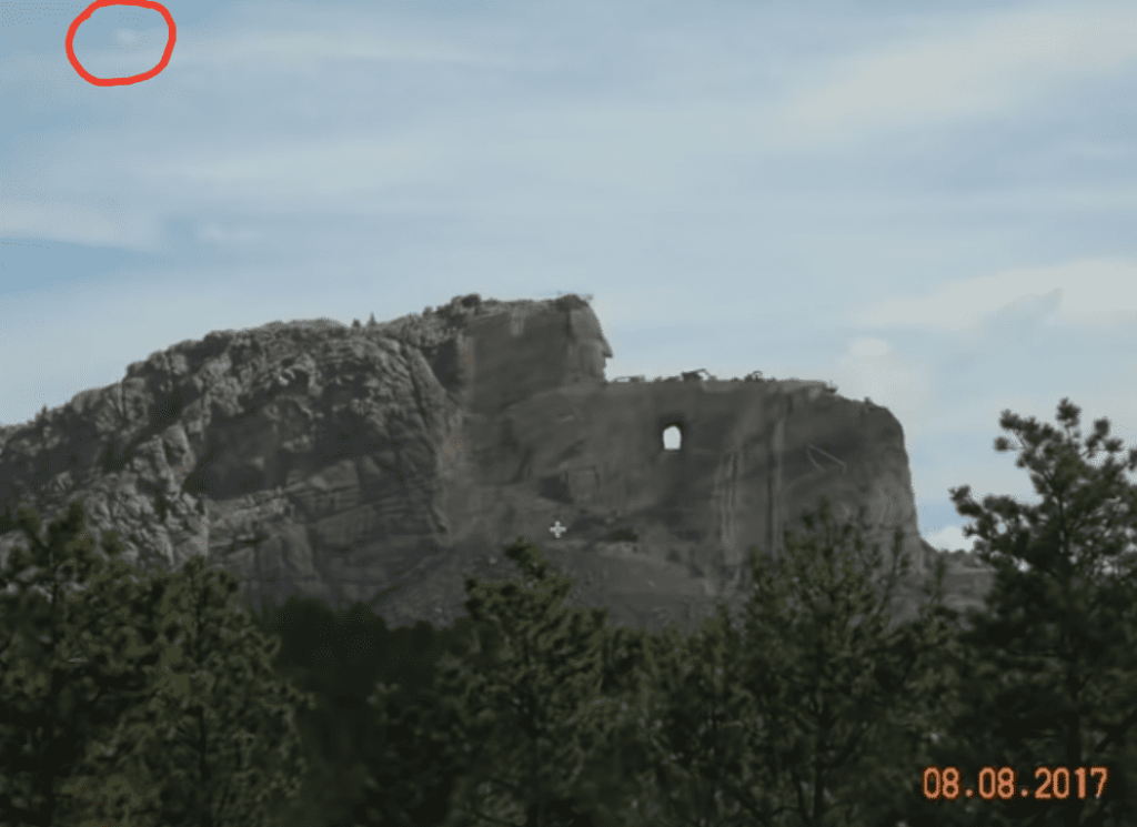
This hexagonal series of plates is called a prism, part of a conventional D.E. rig. It has been found in clouds as in the image below but the date is 8/8, a huge mark. The monument is too. Crazy Horse. its mocking the people that belive him


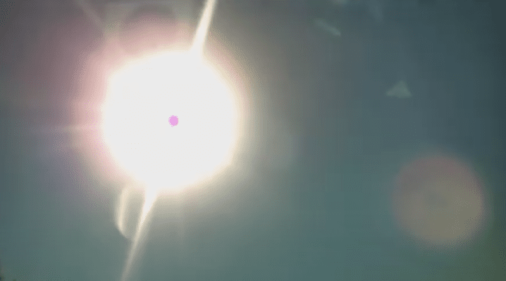
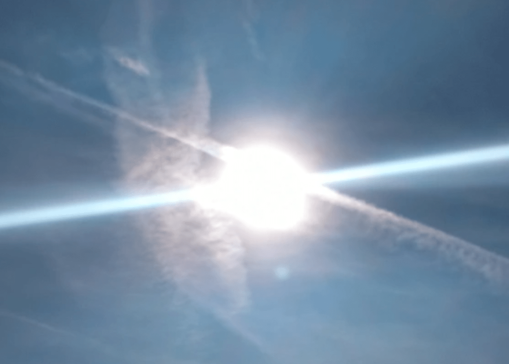
This one I took at work personally. I was tracking trails and the beam was visible for about 15 minutes before it went away. If it was a simple camera error it would’ve been in every image.
There is no going “Off the Grid”


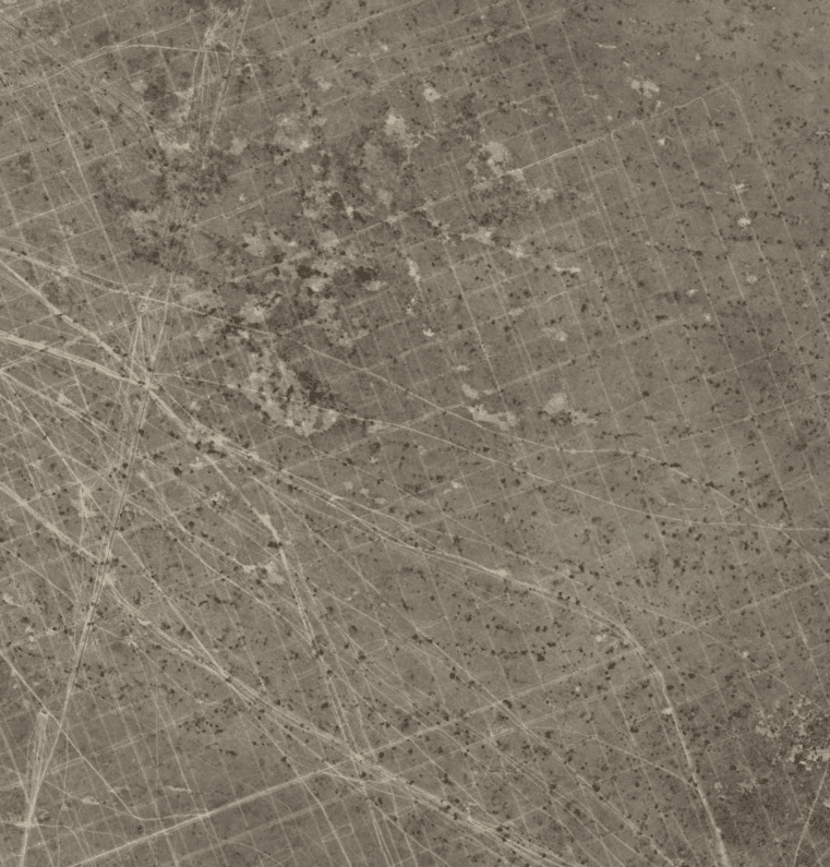
I love it when people try to use Google earth as proof the world is round. lol, They can make it the shape of a dildo if they want.
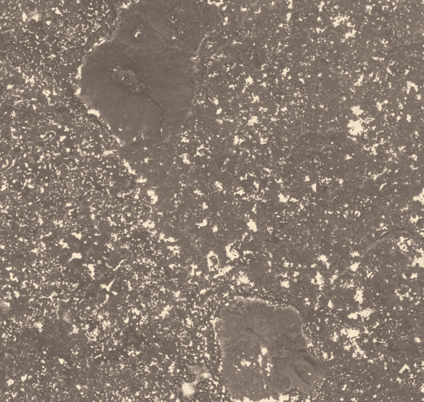
Micro-Surface Texturing
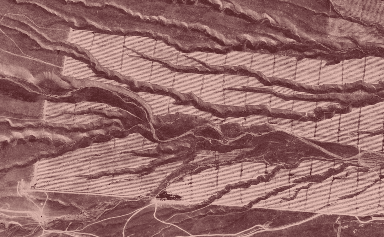
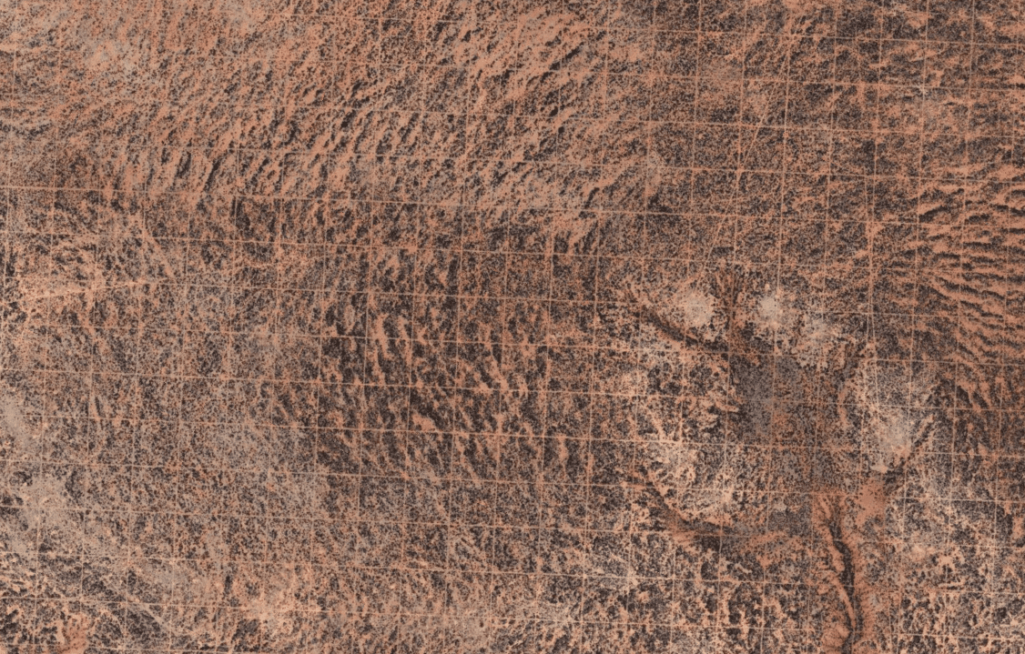
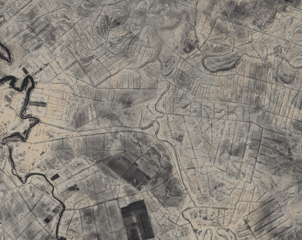
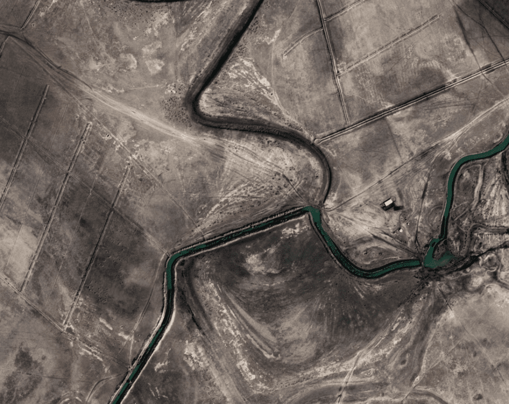
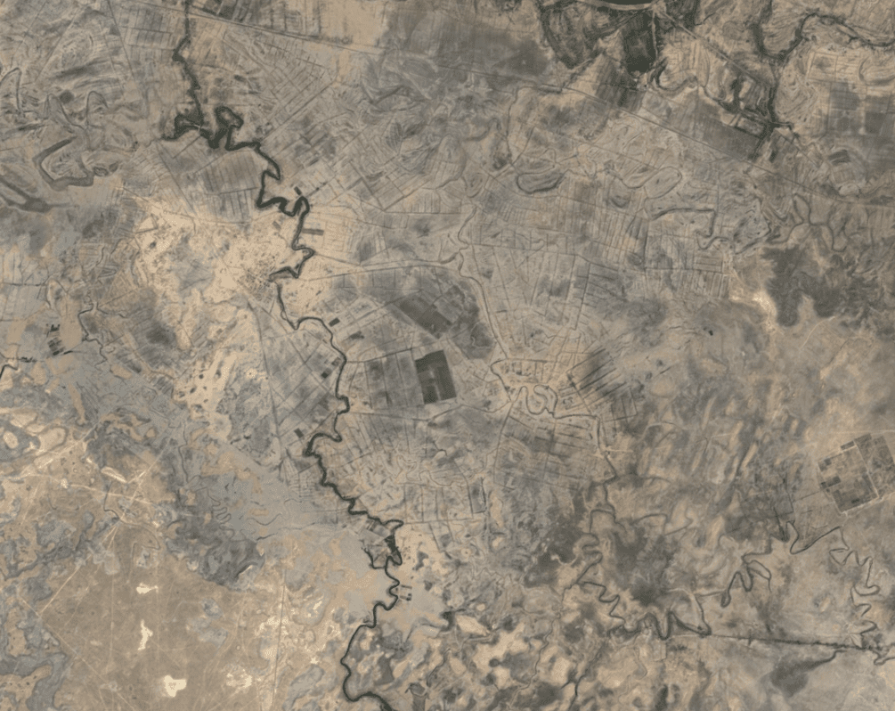
Here are a few diagrams showing how the grid etched into the surface rock is used for irrigation.
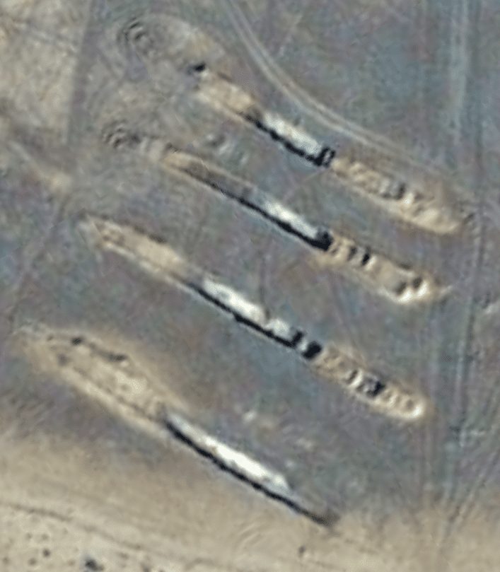

Karakum Desert, Middle East
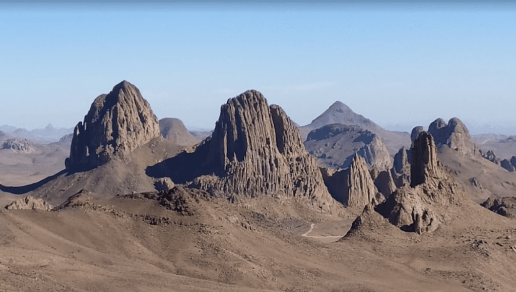
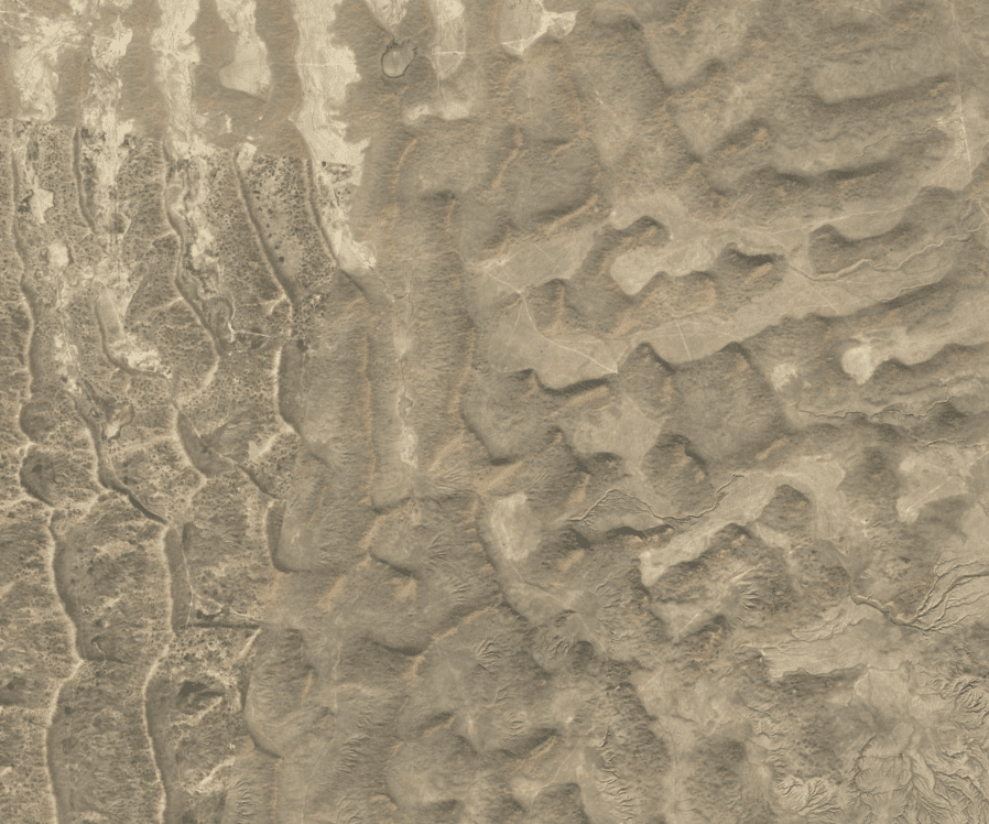
This place serves as a good showpiece of how the mountains out in the middle of the desert are terraformed to divert runoff down the mountains to the nearest town. The Macro-textured surface wasn’t done with a pick and shovel.

Mima Mounds
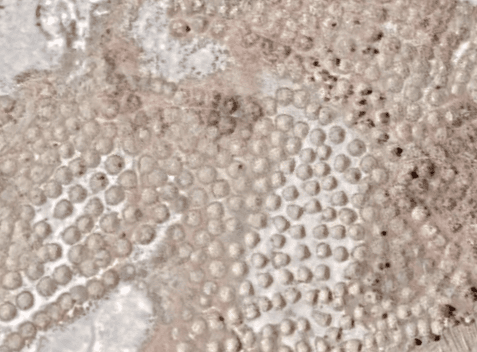
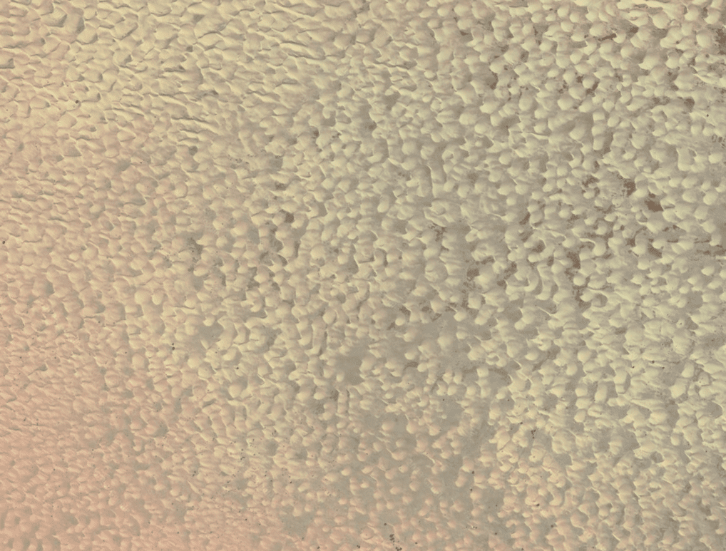
Surface Texturing vs Desert Bedrock
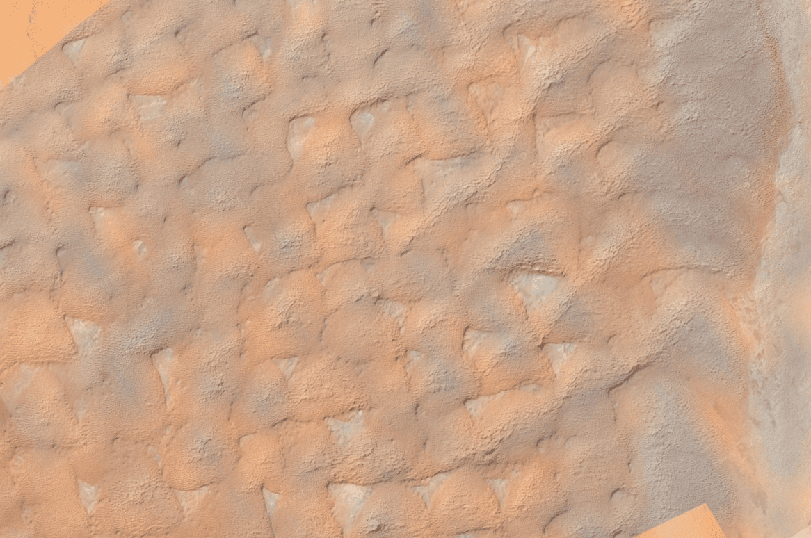
Laser Engraving vs Forest growth patterns
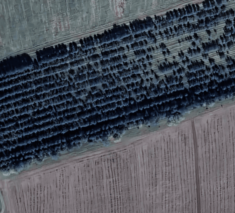
See Where I’m Going With This?


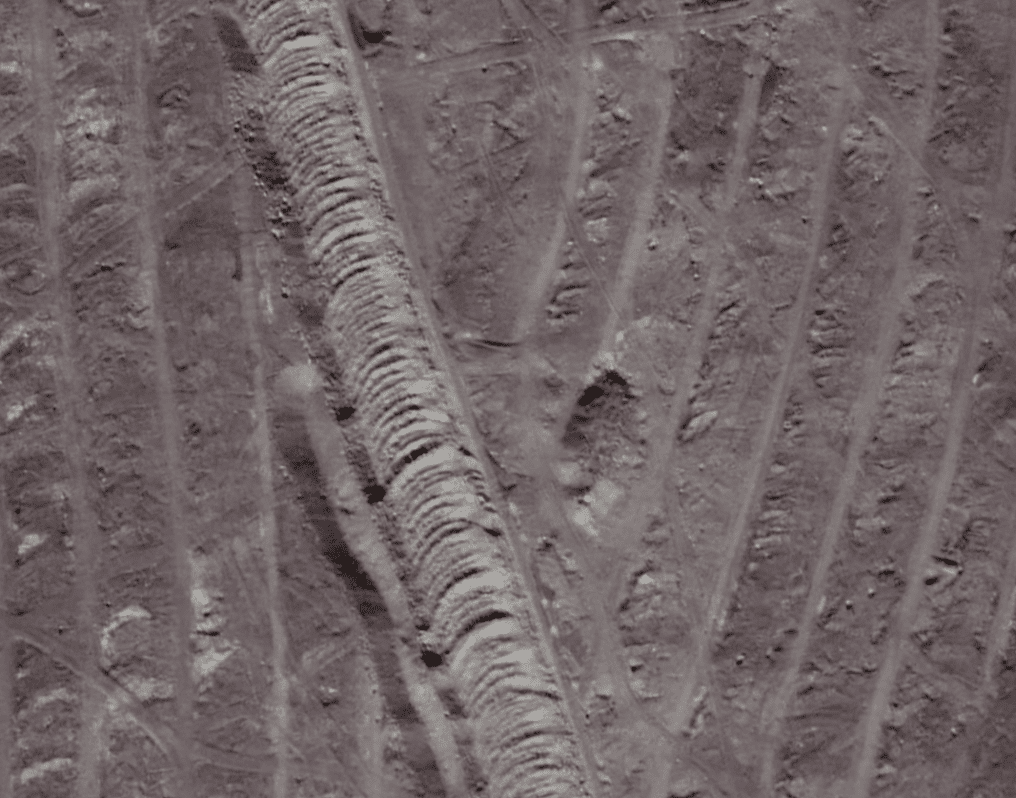
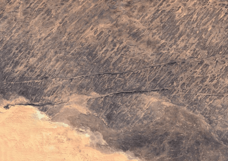
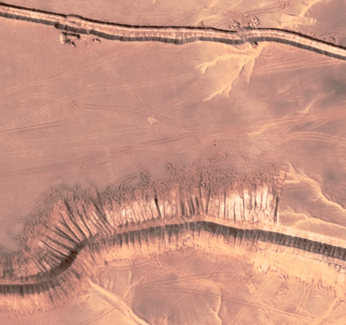
Weld Beaded Bedrock
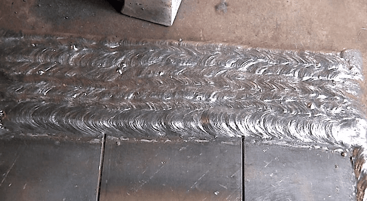
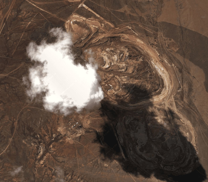
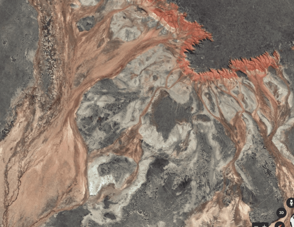
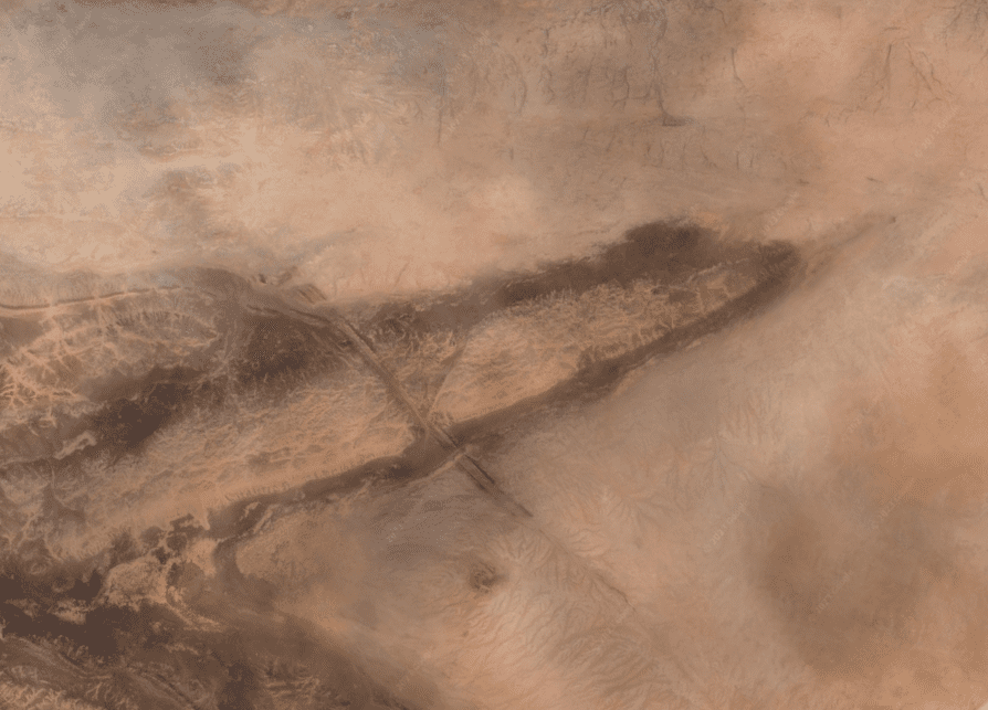
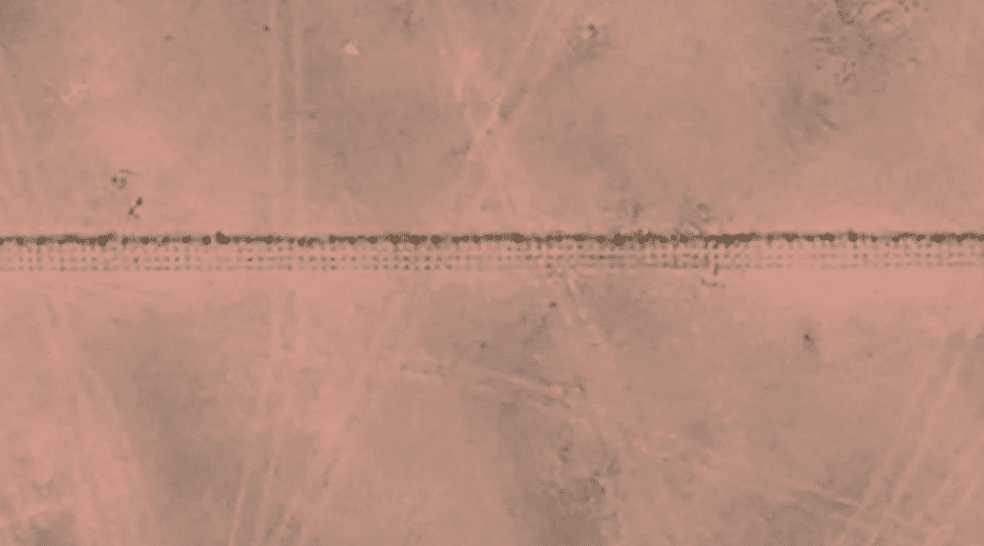
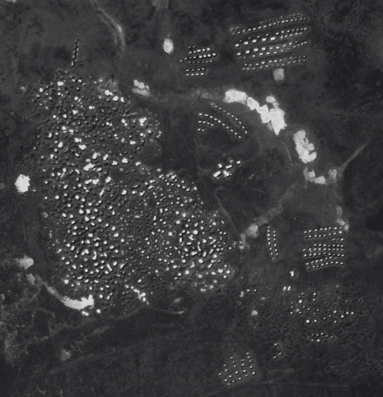
This screen shot is from a mining operation in the Middle East. This showcases two types of signatures that are fingerprints of directed energy technology. The arc weld going through the center and plasma micro-surface texturing


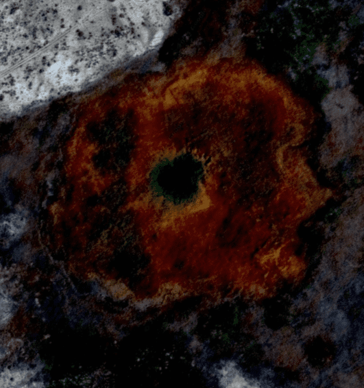
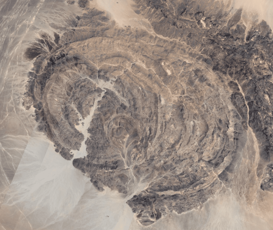
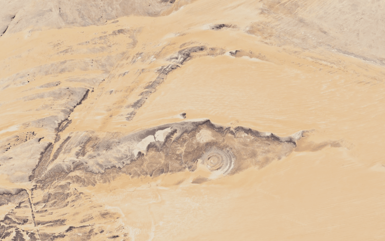
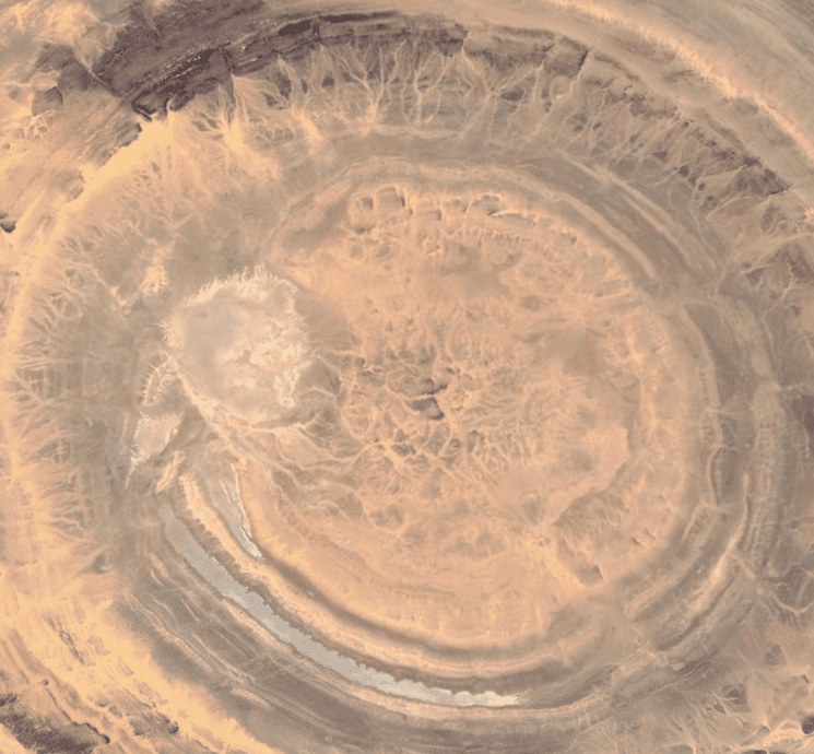
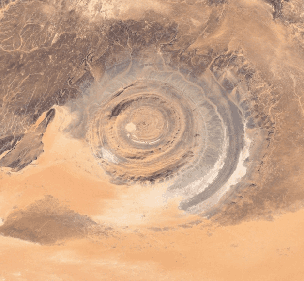
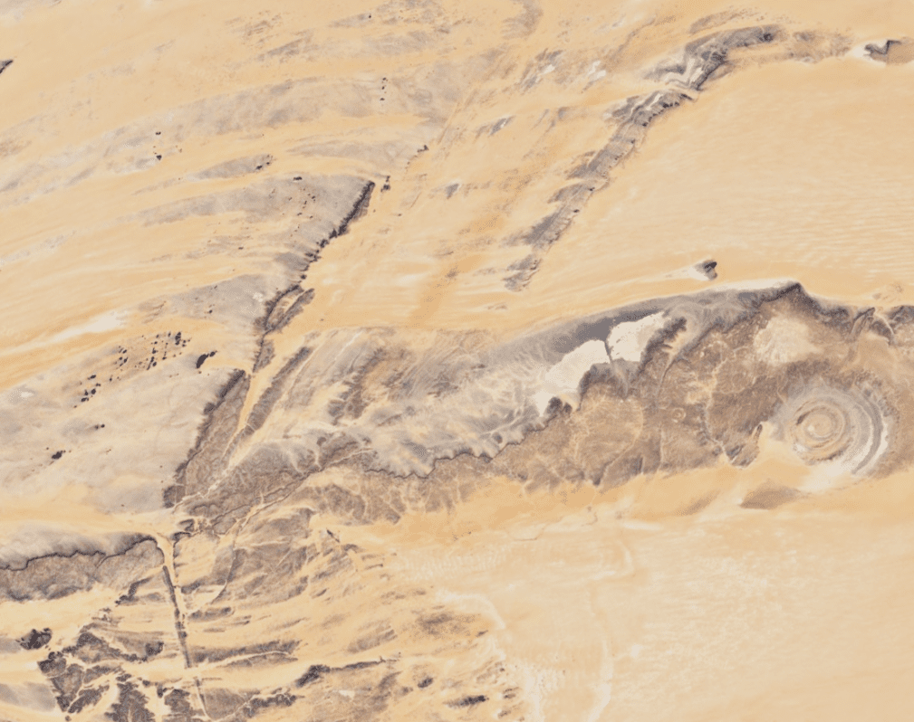
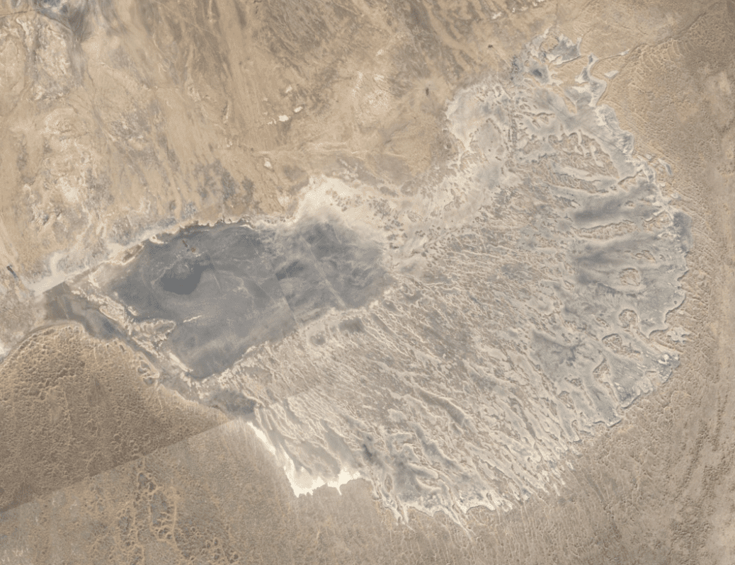
Eye of the Sahara Ablation
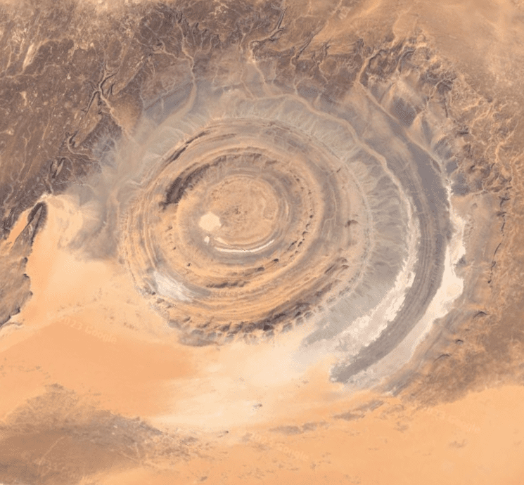
Most Alt-Media sites tell you this is Atlantis. Hate to be the one to break it to you but Atlantis isn’t real. Its only referrence comes from Plato, who gets his info second-hand from the Egyptian Mystery School priest who shares his oral tradition passed down for thousands of years. Ancient Greece and Egypt are both hoax’s, so that doesnt leave much hope for Plato or his story.
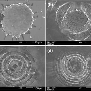
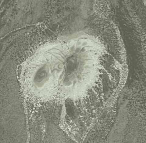
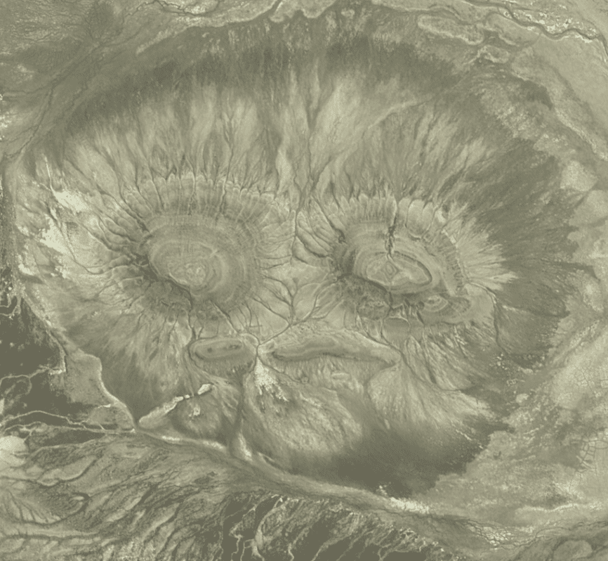
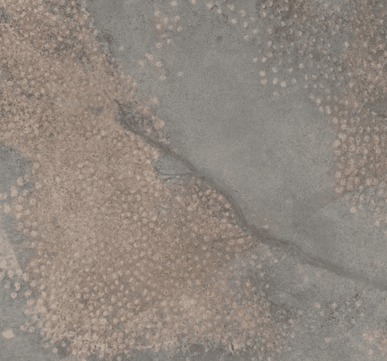
The Eye of the Sahara is one of the clearest examples of D.E. signatures Ive scene on Earth. There isnt just one spot either, ther are multiple ablations in the immediate area.
Multiple timed pulsed laser strikes match the eye and nearby areas.
Remember I said pay attn to the bands of thin concentric rings? The Sahara was slashed with a light-saber and the skin pushed up.
Faux-Could and the Eiffel Power-Tower
The Faux-could Pendulm suspended from the Eiffel Tower was the first half of the Flat Earth/Globa’al Trolling community. It also got his name inscribed on the tower along with 71 other like-characters that supposedly contributed to modern civilization equal or greater than the Earths rotation illusion.
72 is a symbolic number, again connected to fake space in one way called the precession of the equinoxes. The Earth wobbles as it rotates meaning the constellations in the sky change orientation to the amount of 1 degree every 72 years, so that a full completion takes… Idk, whatever 72×360 is, thats not the point.
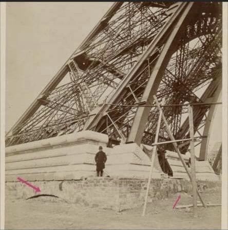
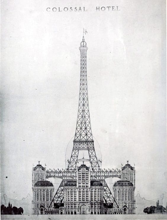
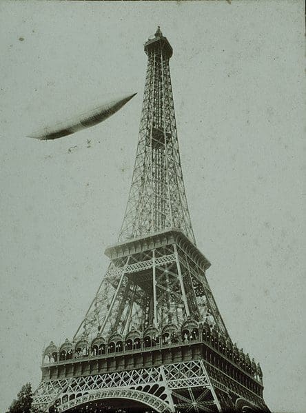
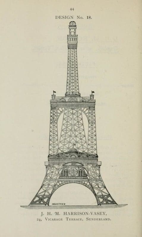
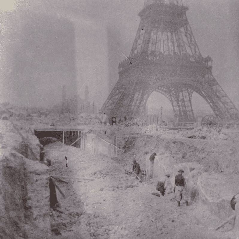
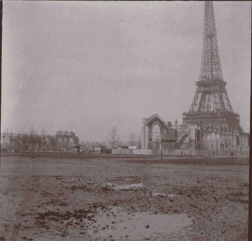
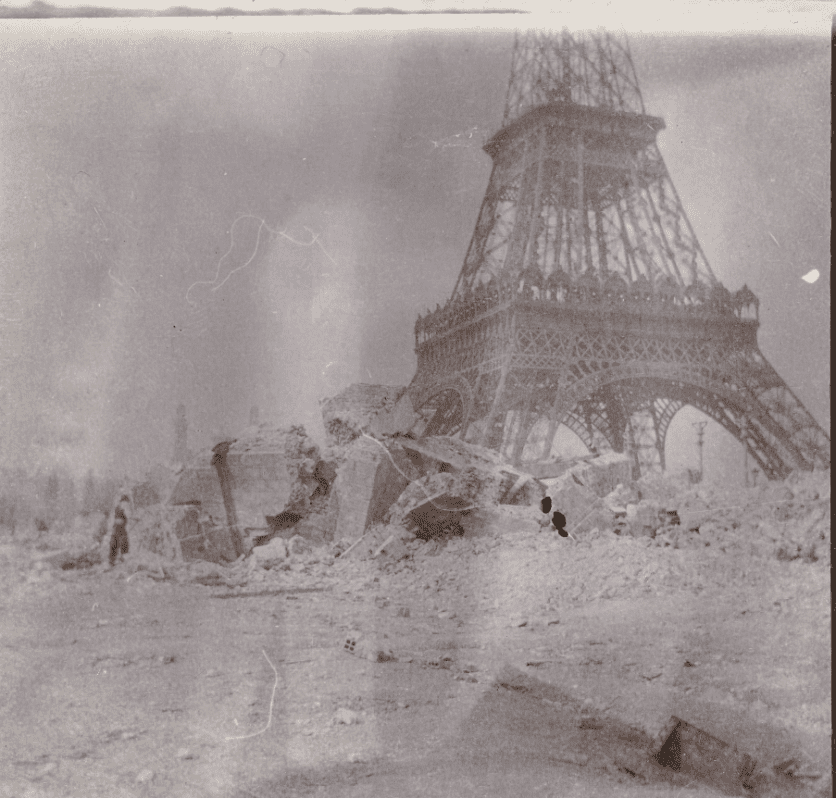
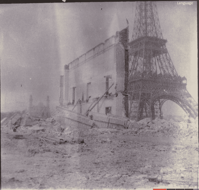
The Eiffel Tower is a mindfuck unto itself as well. A Pre-Mudflood structure. Some people say its a large antennea, part of the Etheric energy grid. I just found some old photos buried in the Rijksmuseum of the backfilled canals around the antennea, additionally some similar towers scattered around the Earth and a few ‘concept renderings’ that may or may not have been part of the original structure at one point.
Click to expand




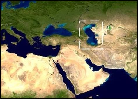
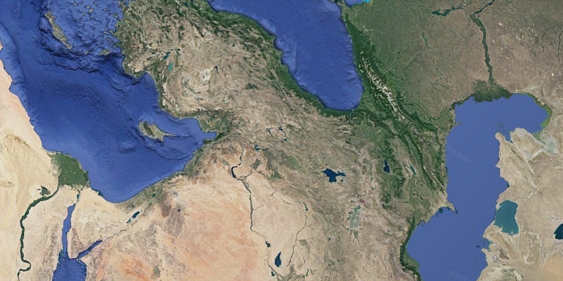
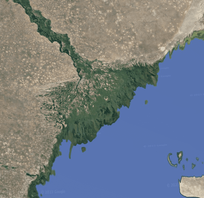
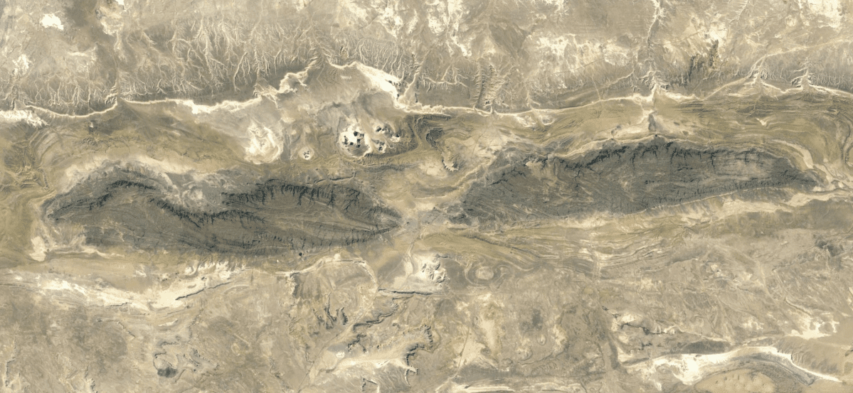
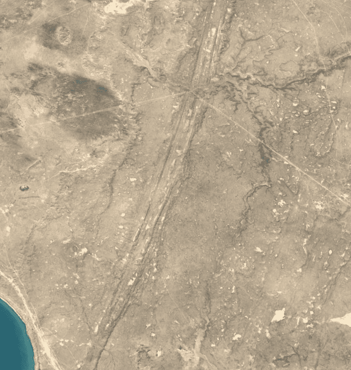
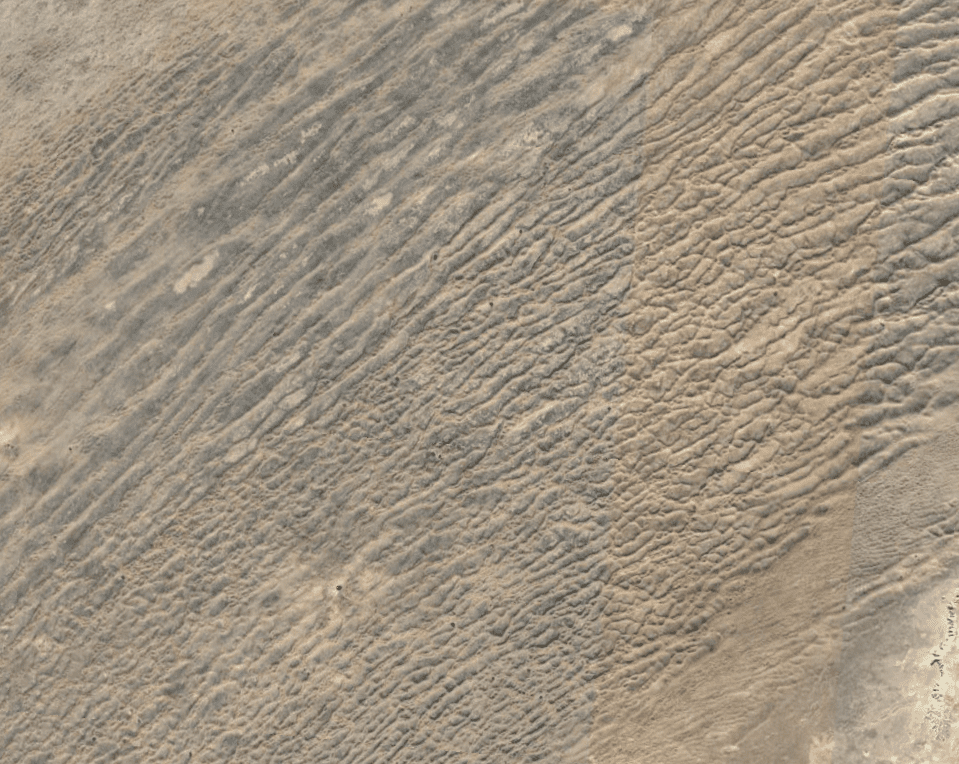
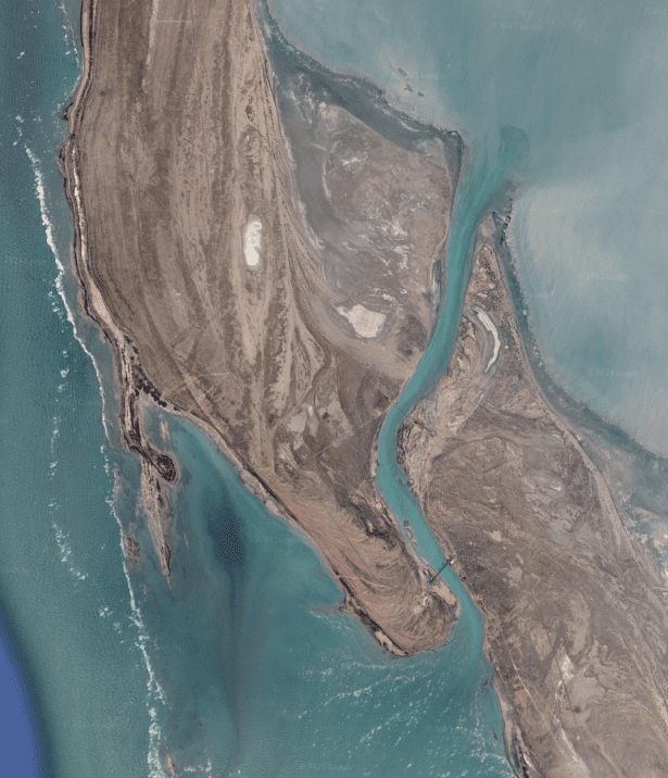
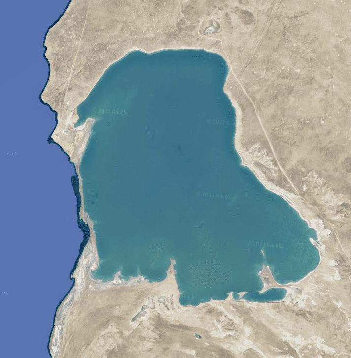
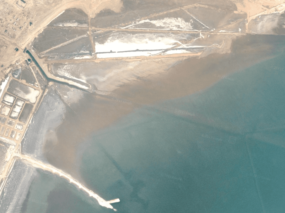
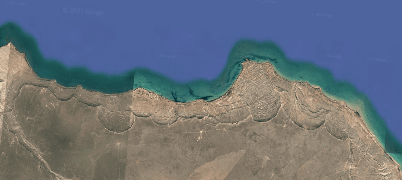
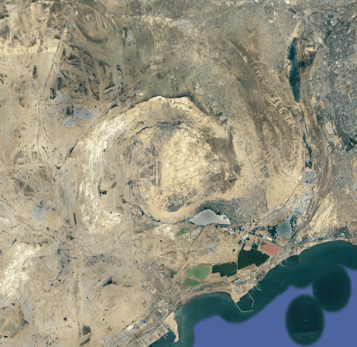
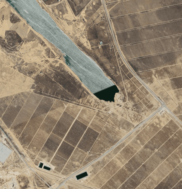
The Caspian Sea is a Man-Made Lake
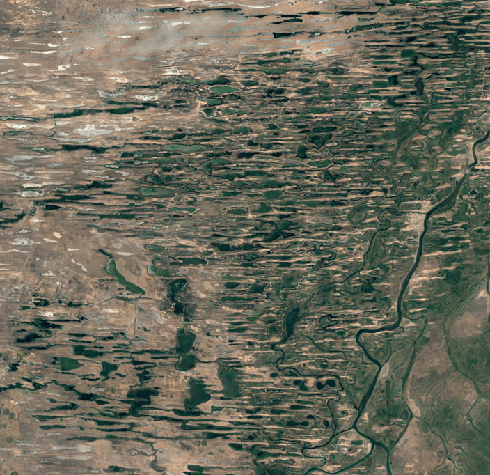
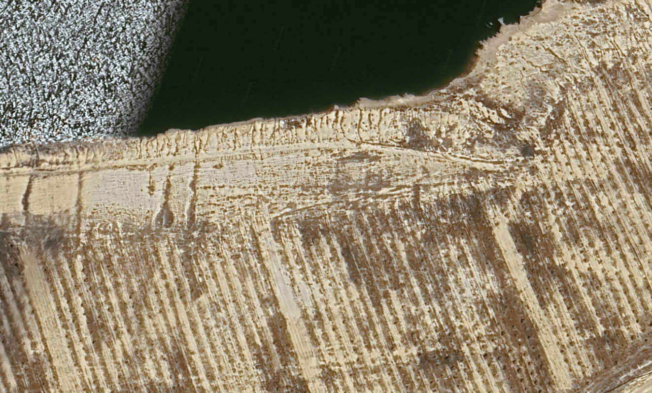
The chapter title says it all. I see evidence that the sea is not a natural pool. All the way around there are directed energy signatures


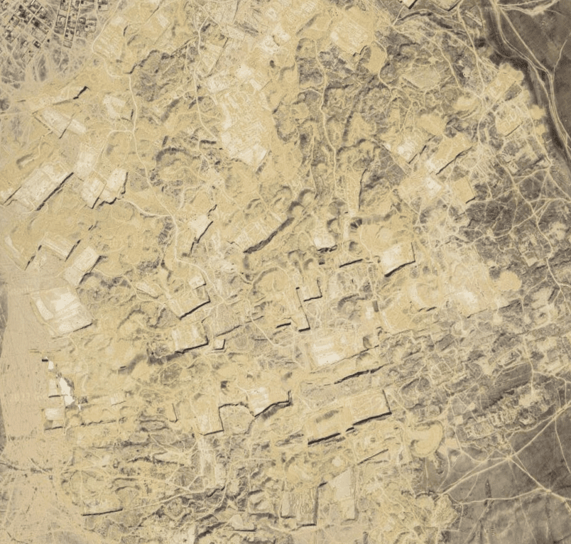
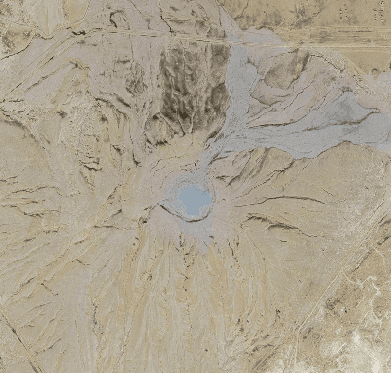
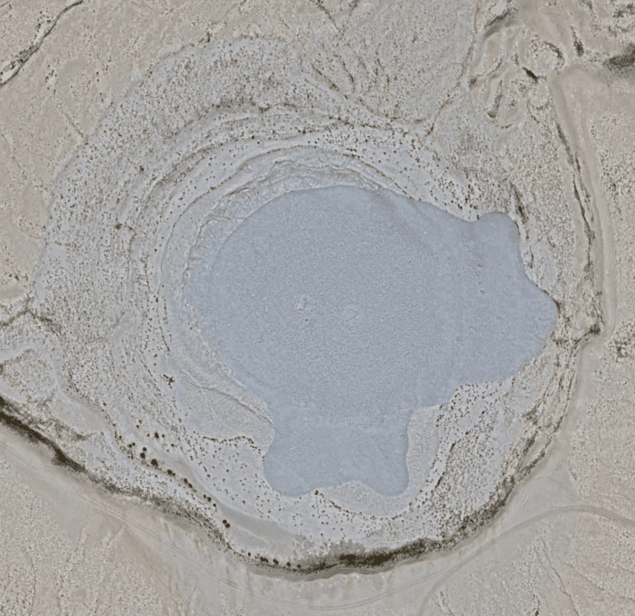
Baku
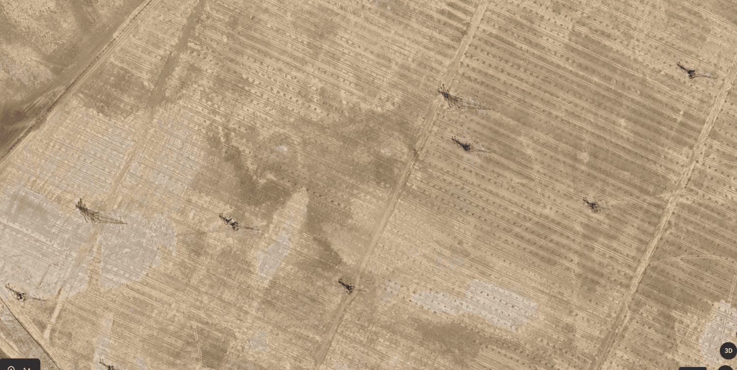
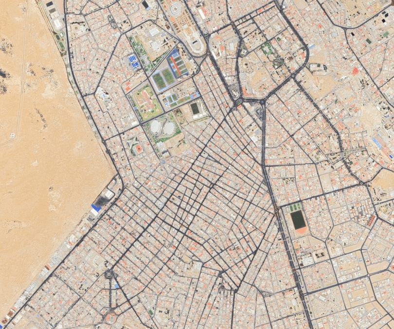
Baku Peninsula was created as the Capital for the Middle Eastern Big Oil companies

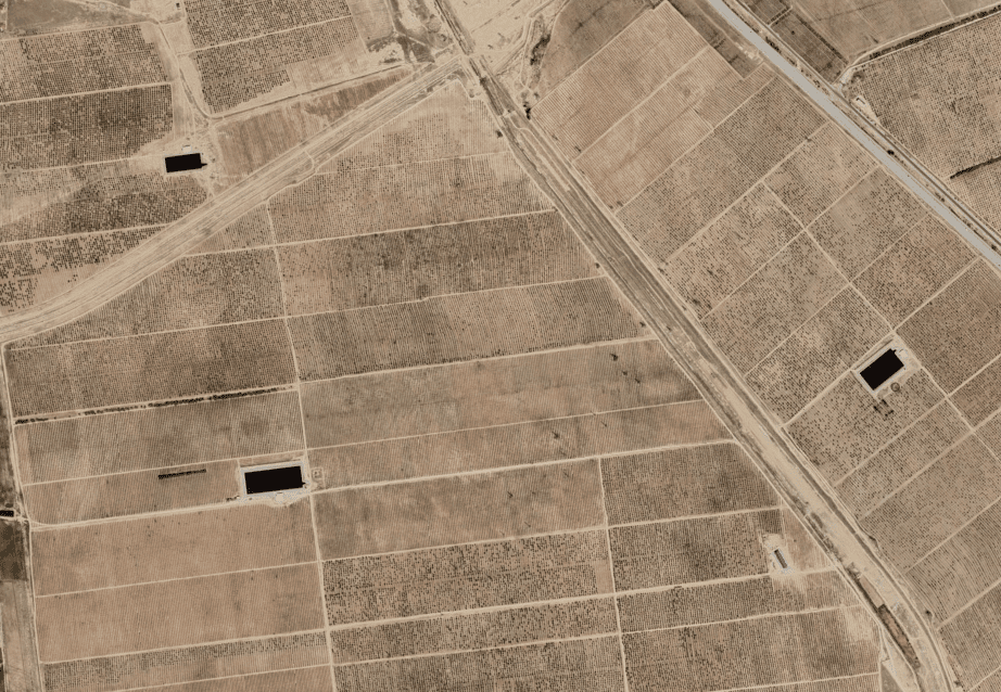
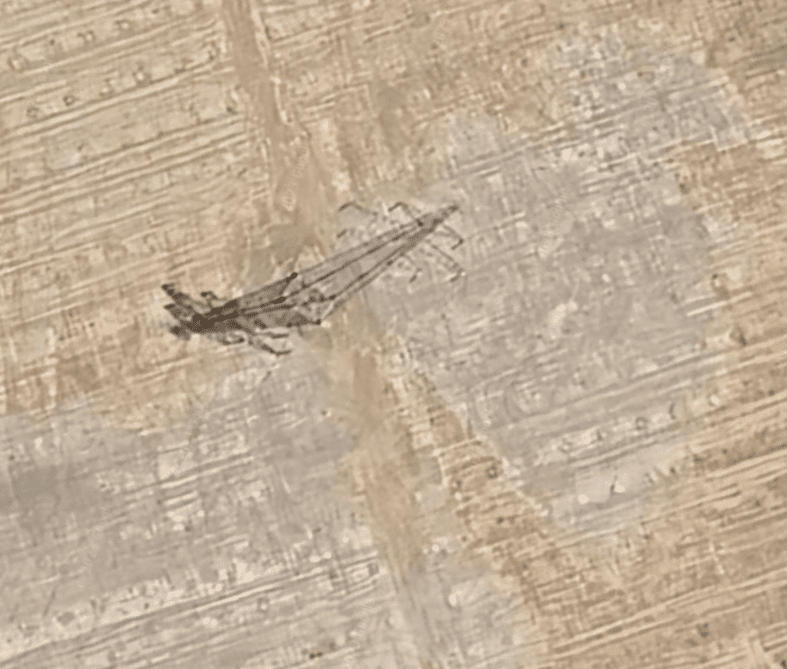
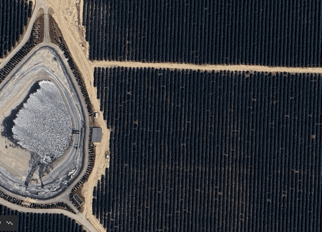
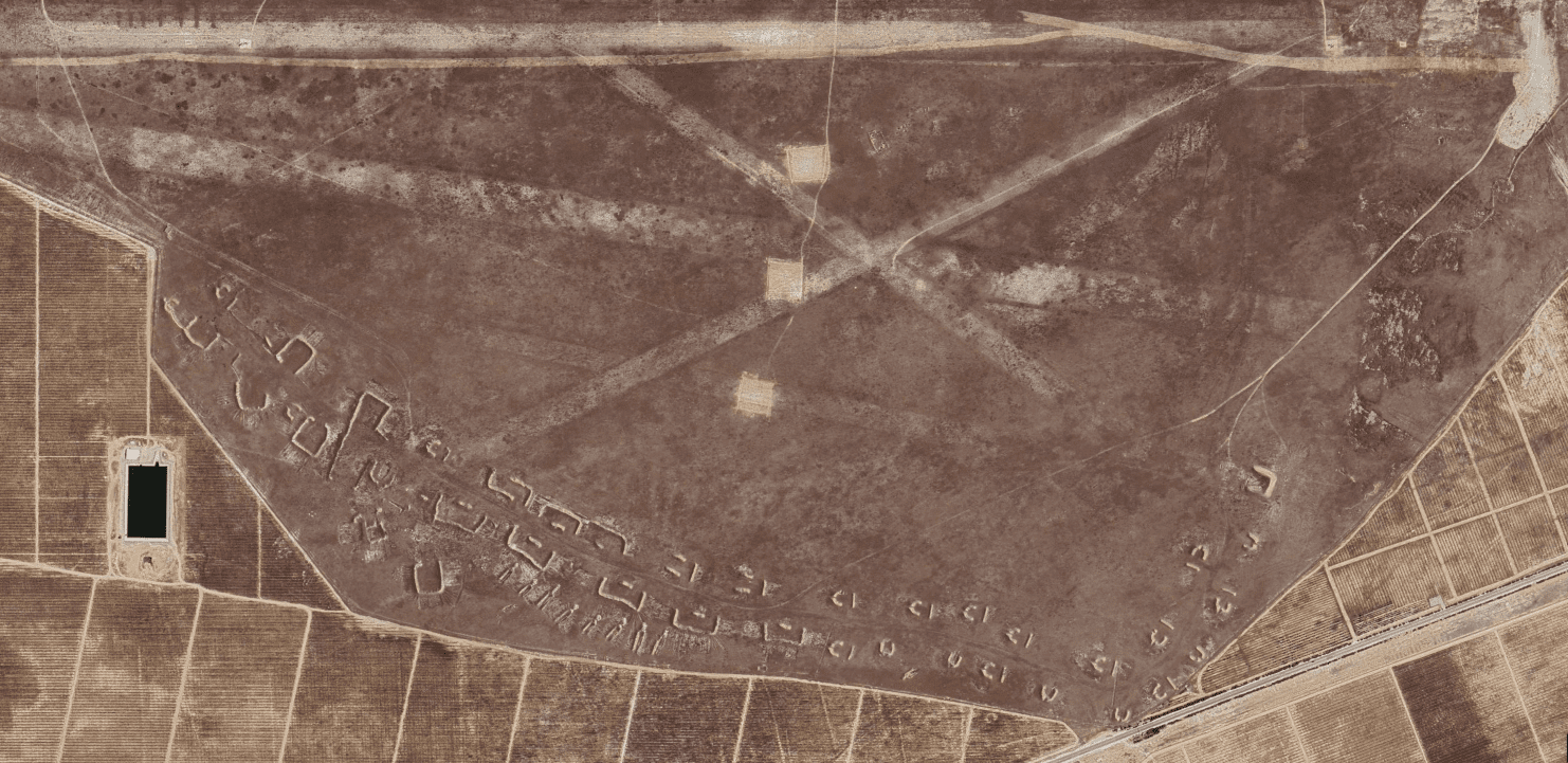
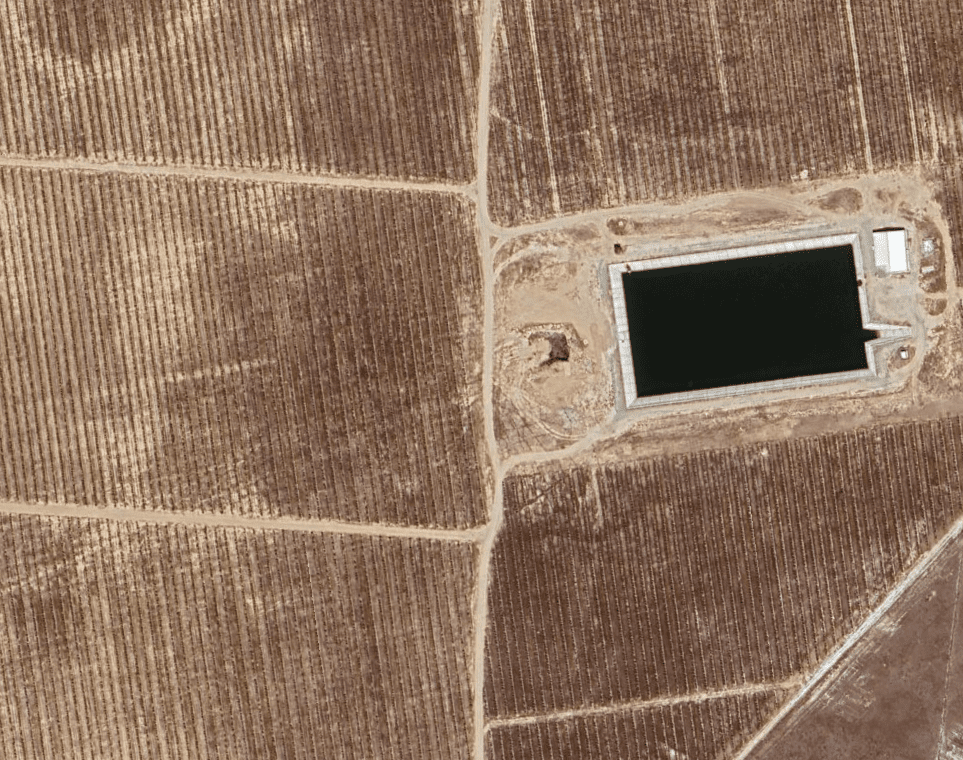
Underwater Trench
I dont think this was dredged, it cuts straight through the mountains on the other side.
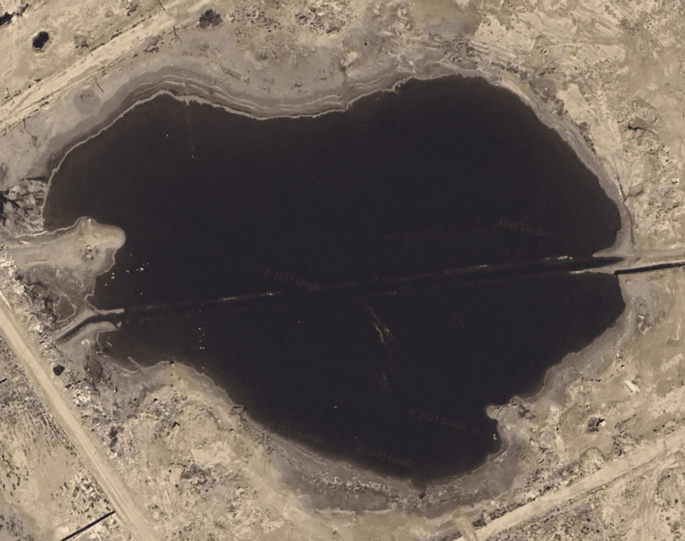
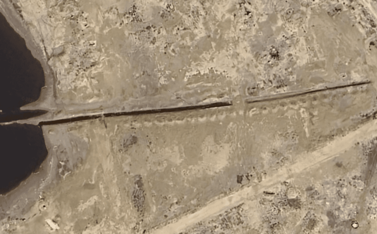
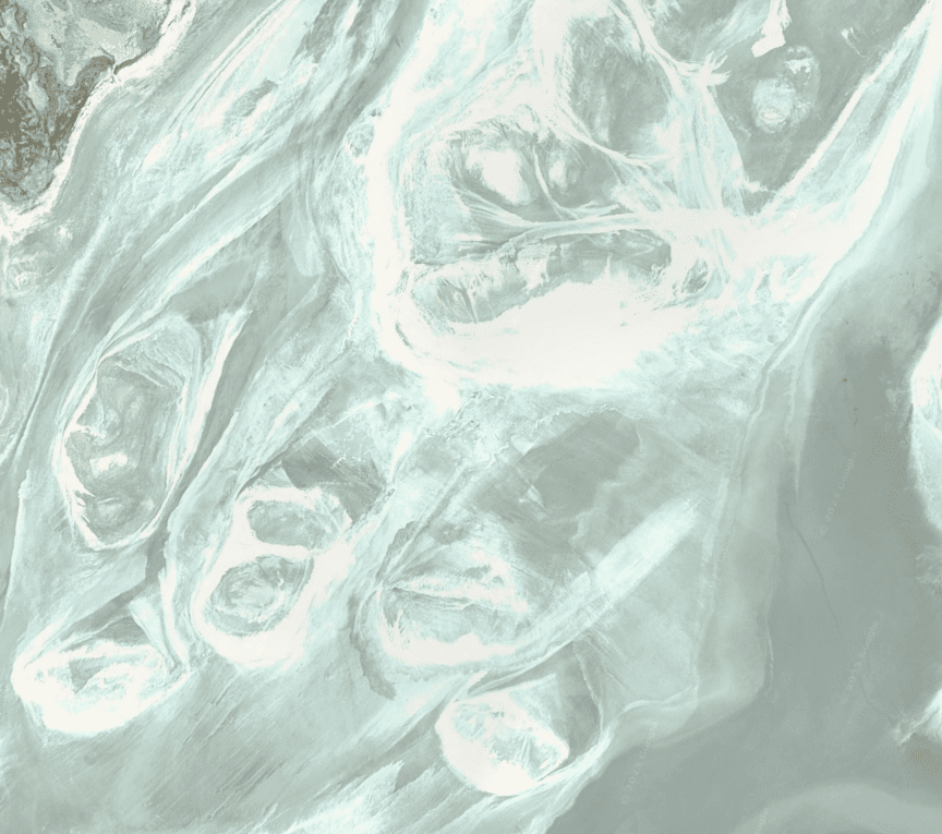
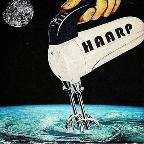
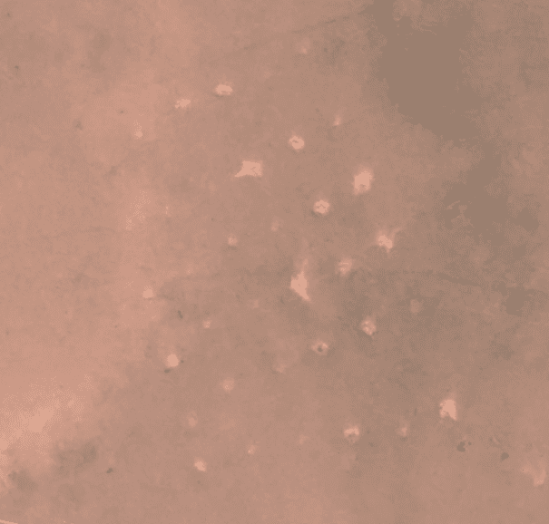
Random ablations and points of interest. Some belong in another folder. I think there is a group that go around leaving pictures of demons and monsters in google earth
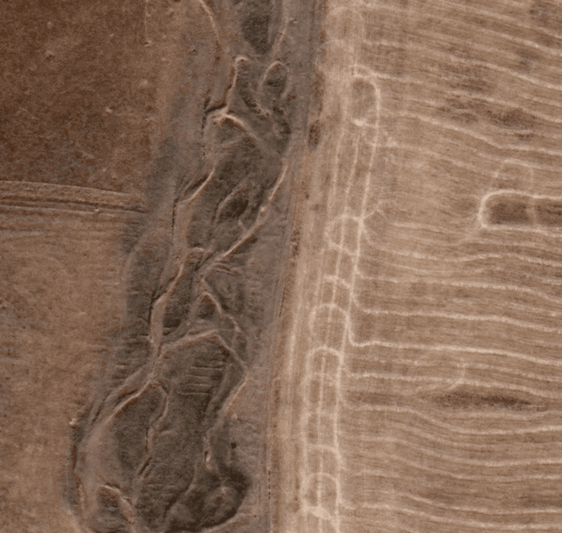
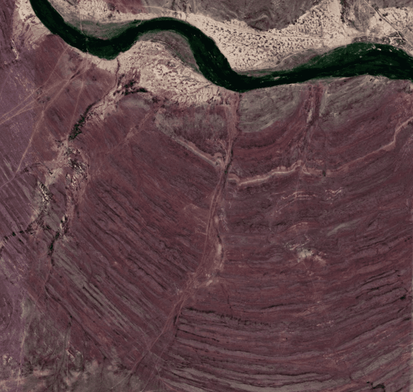
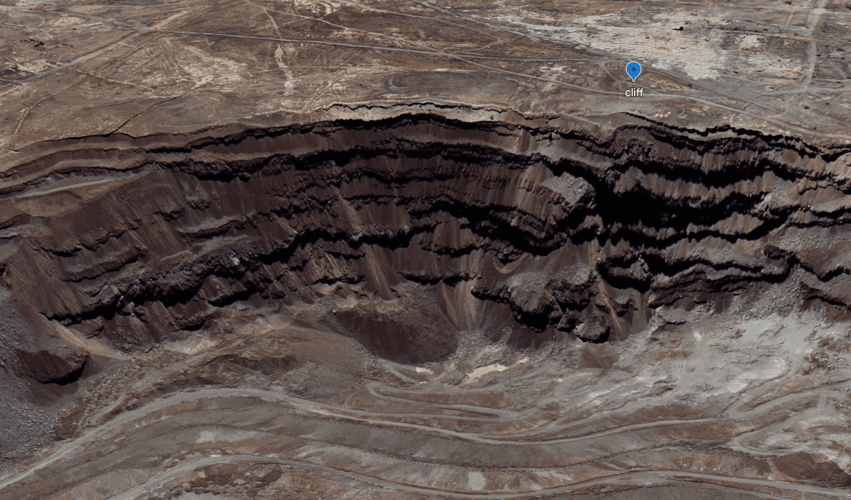
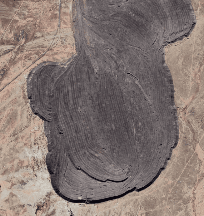
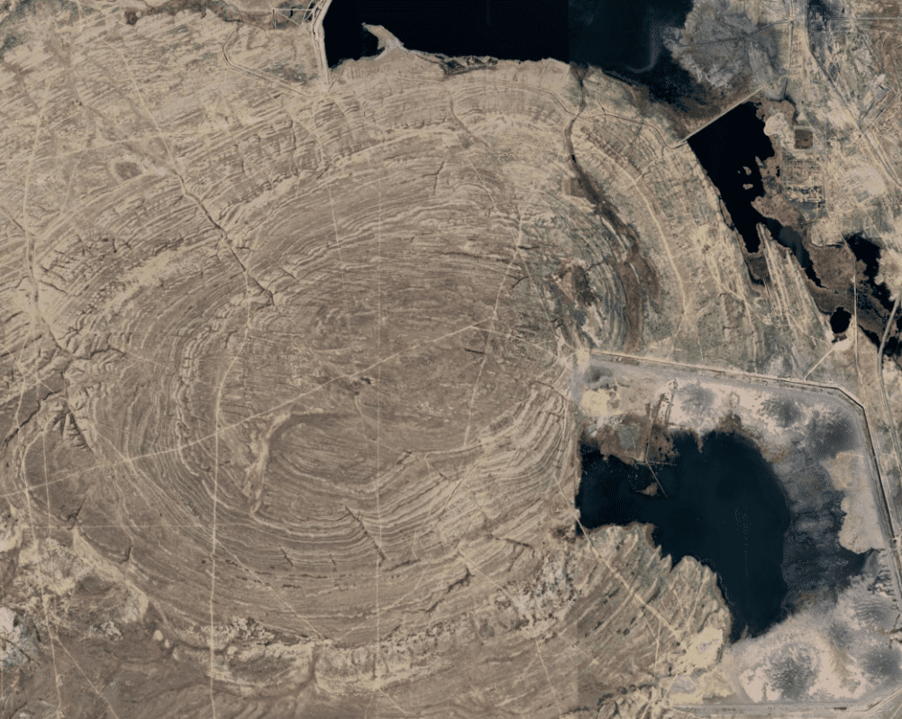
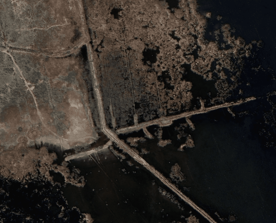
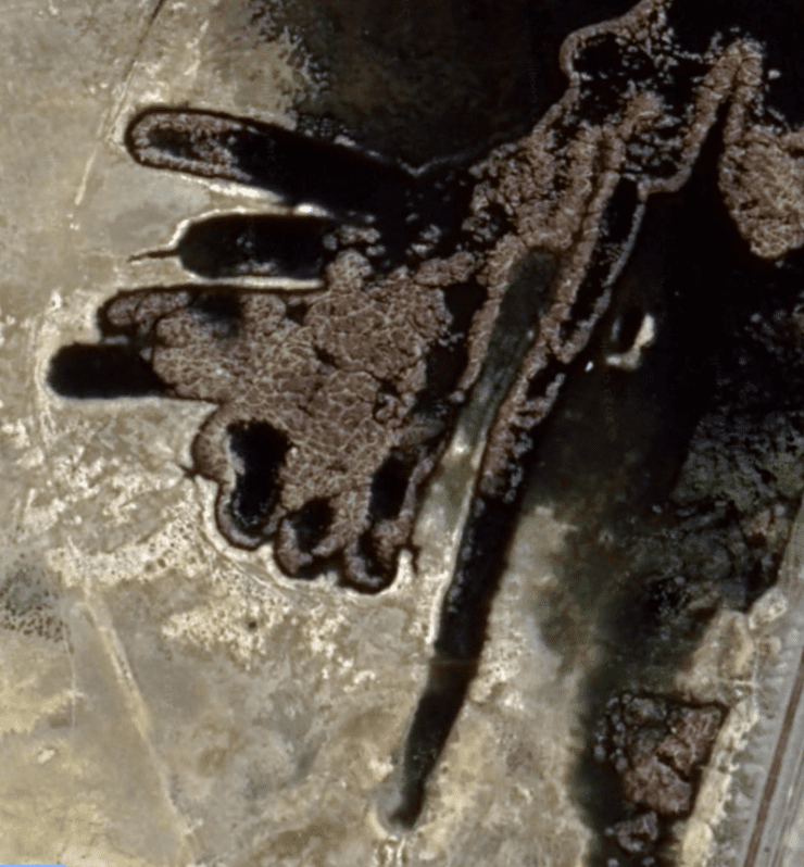
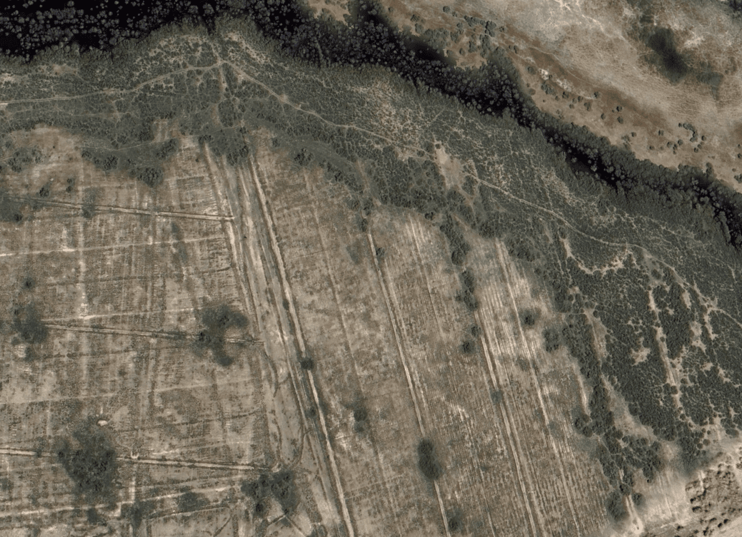
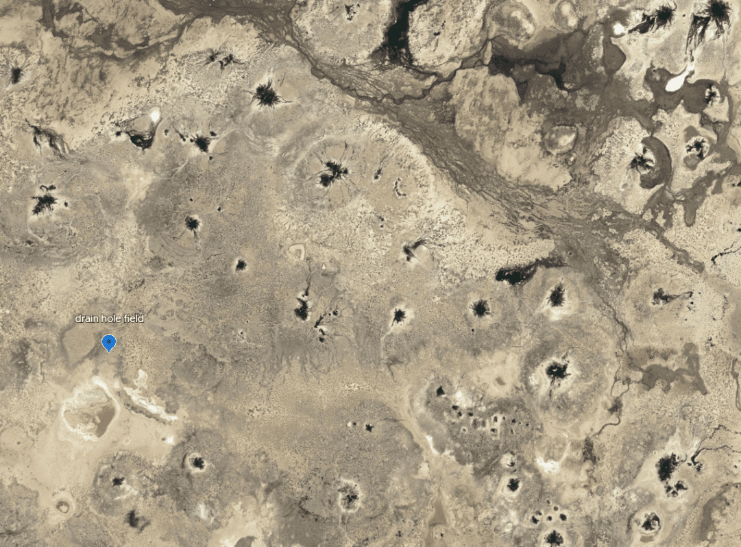
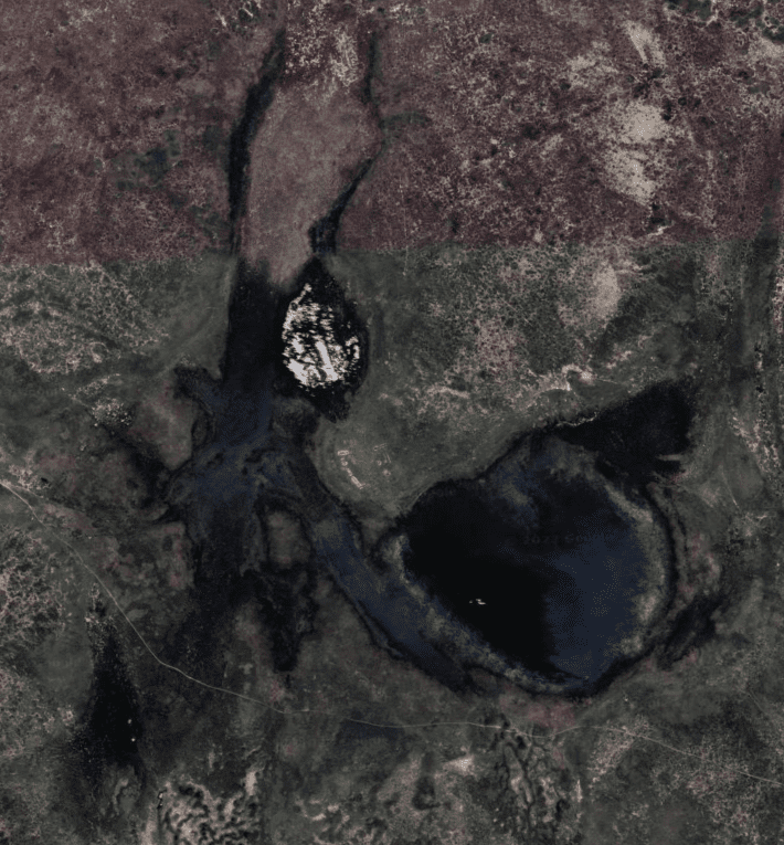
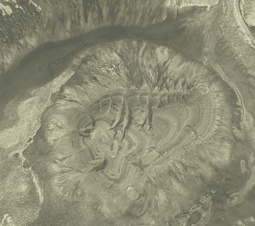
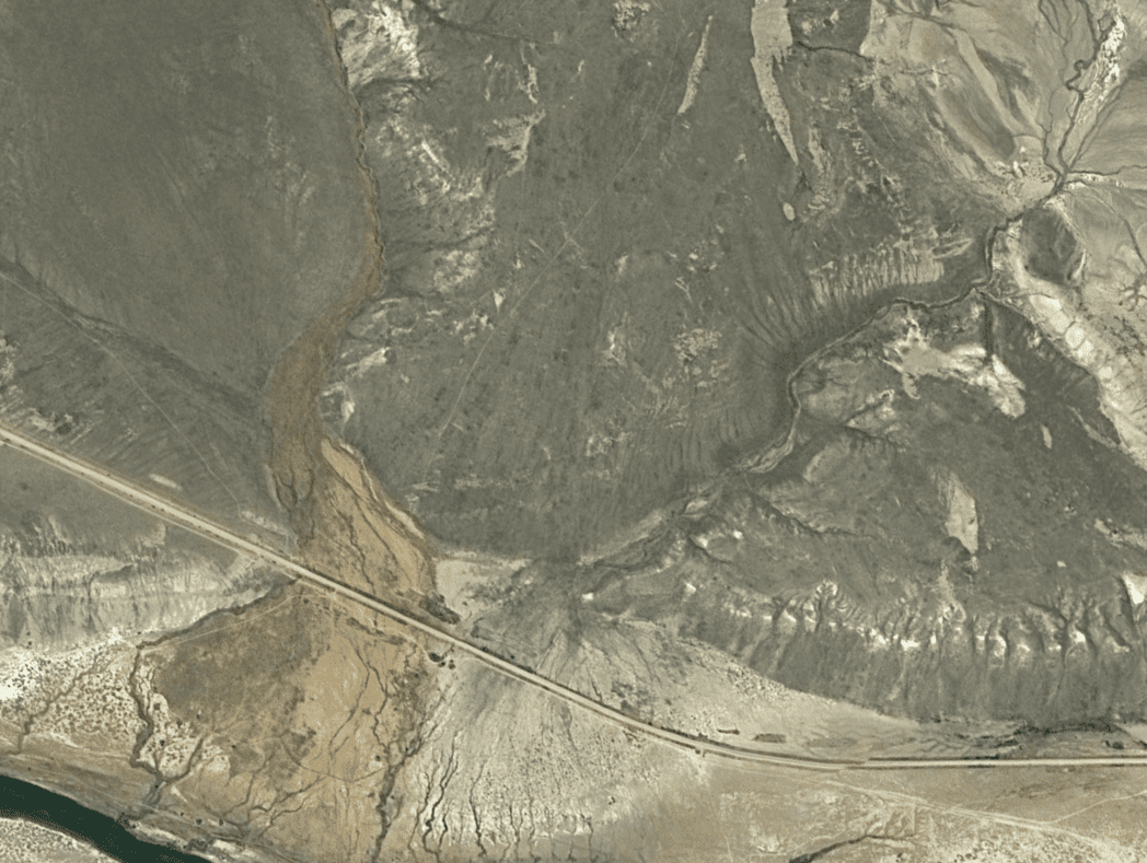
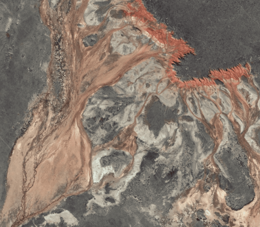

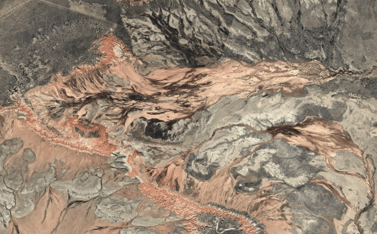
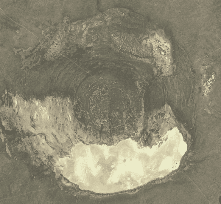
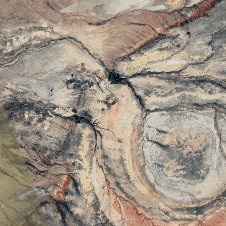
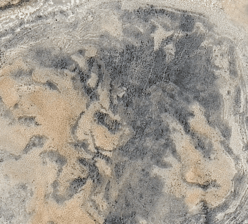

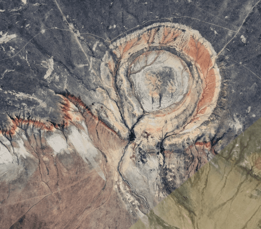
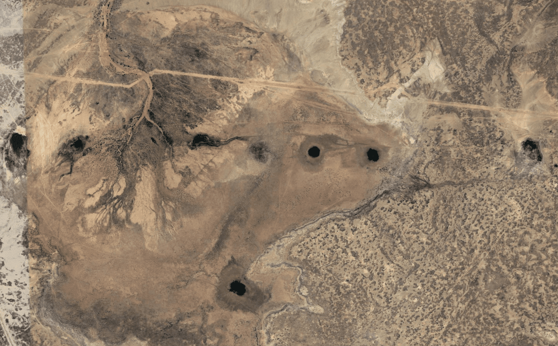
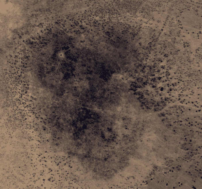
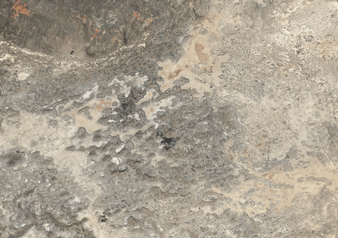
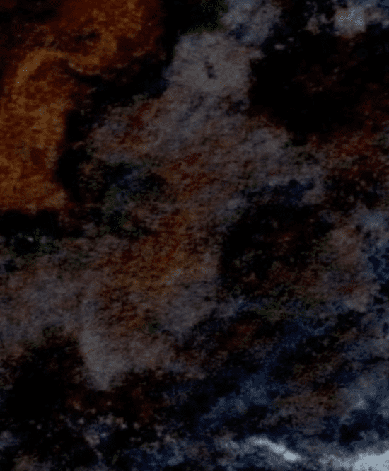
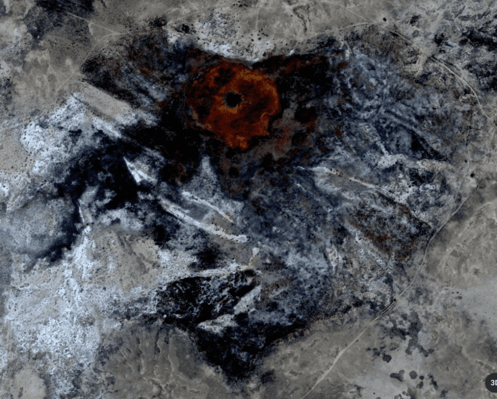

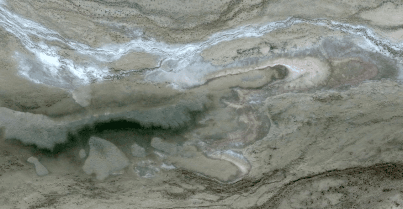
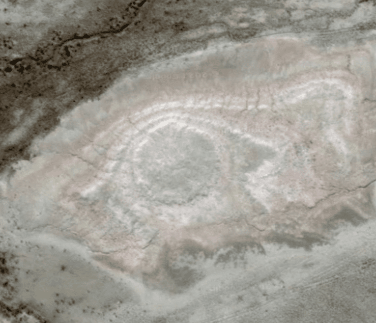
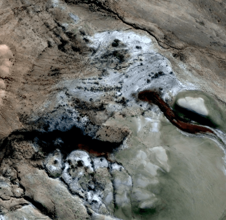
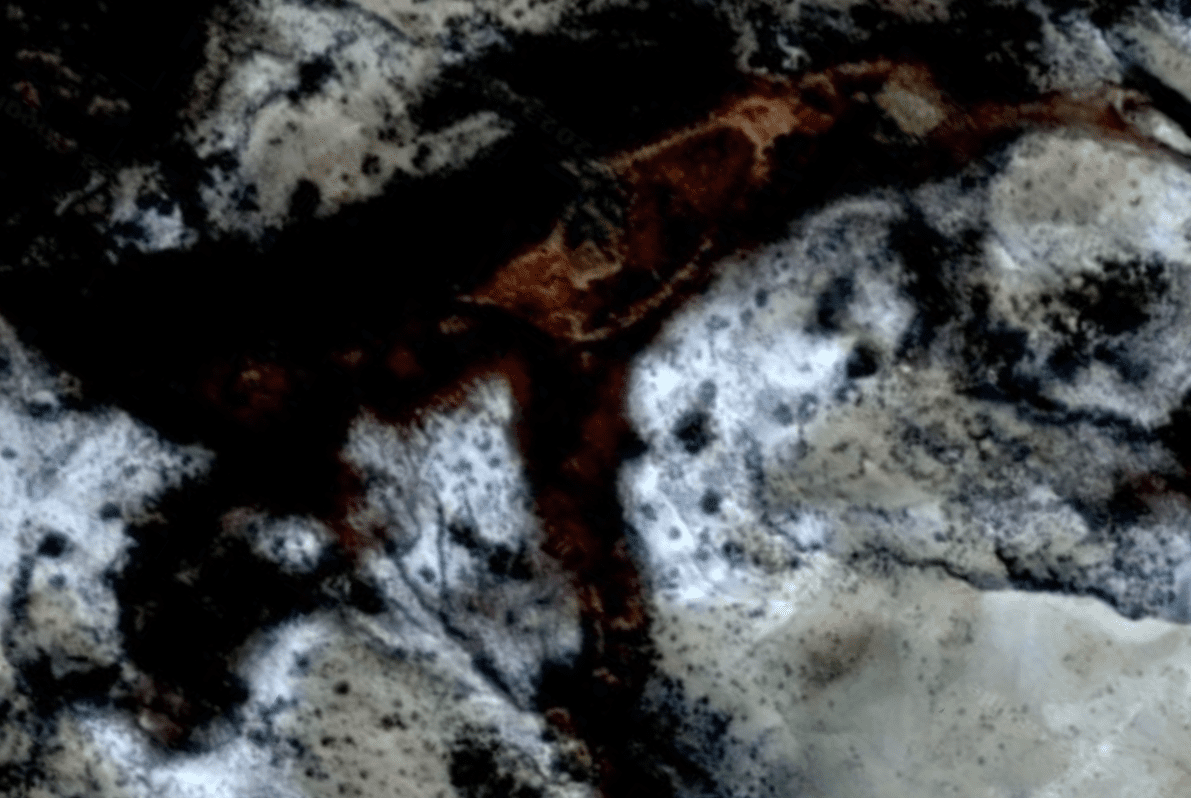

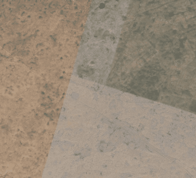
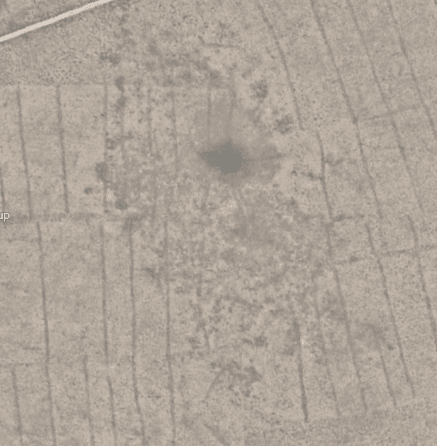
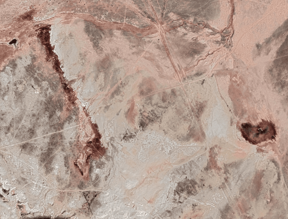
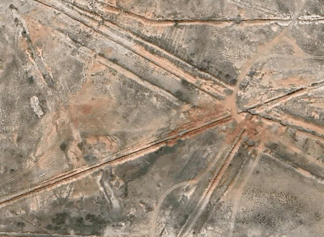
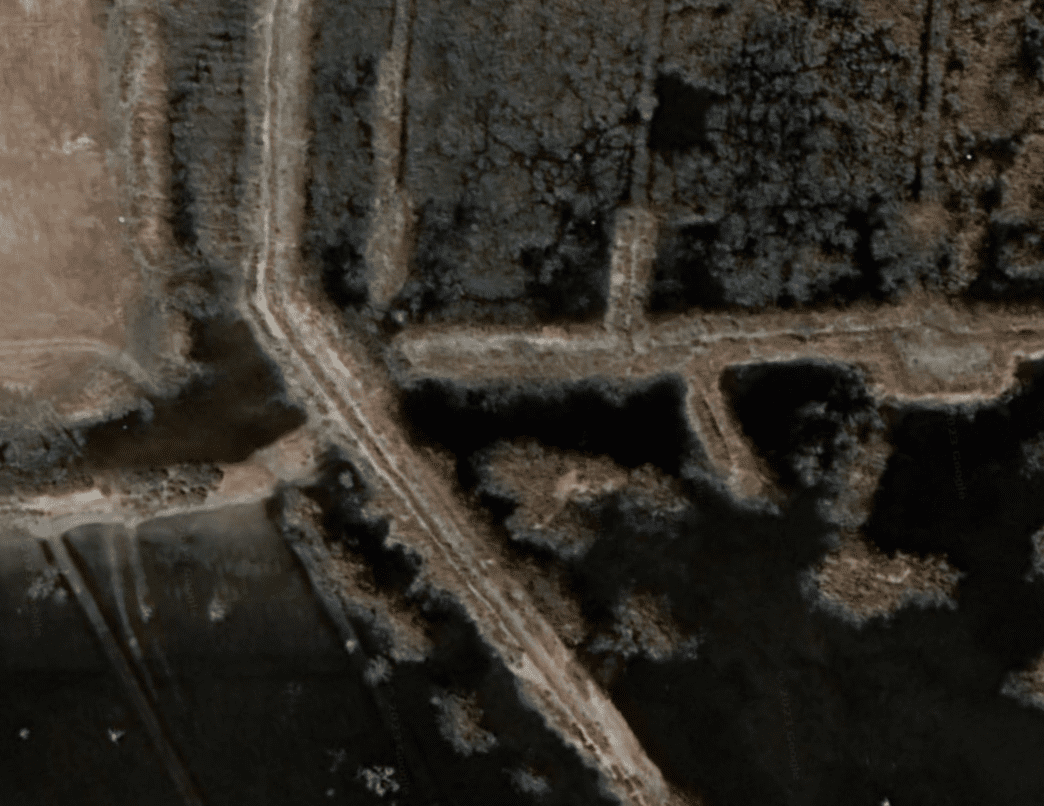
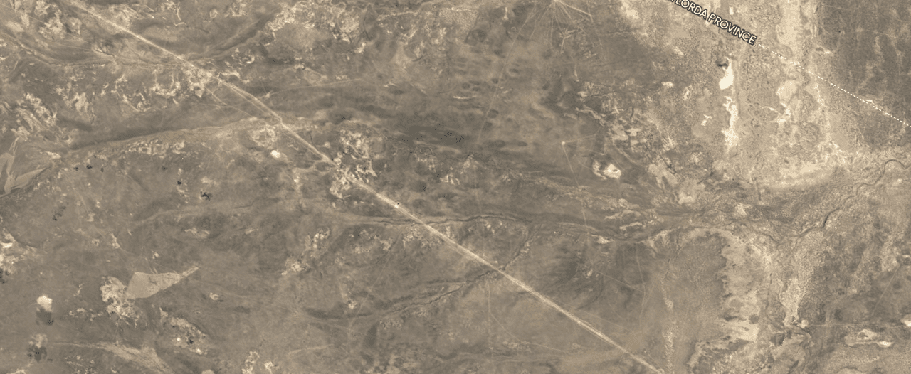
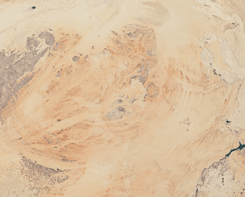
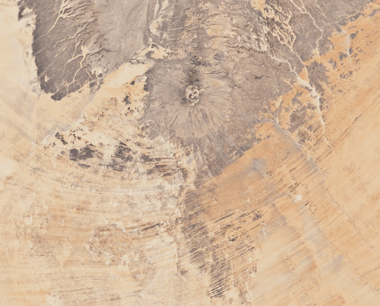
Sahara
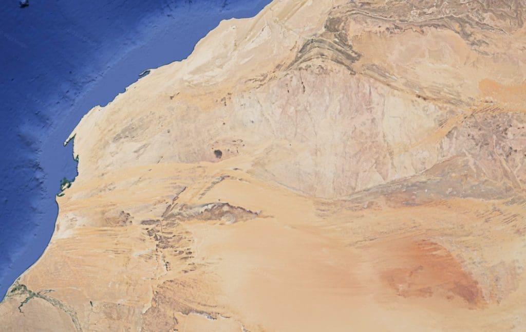
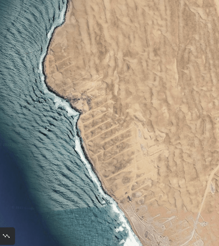
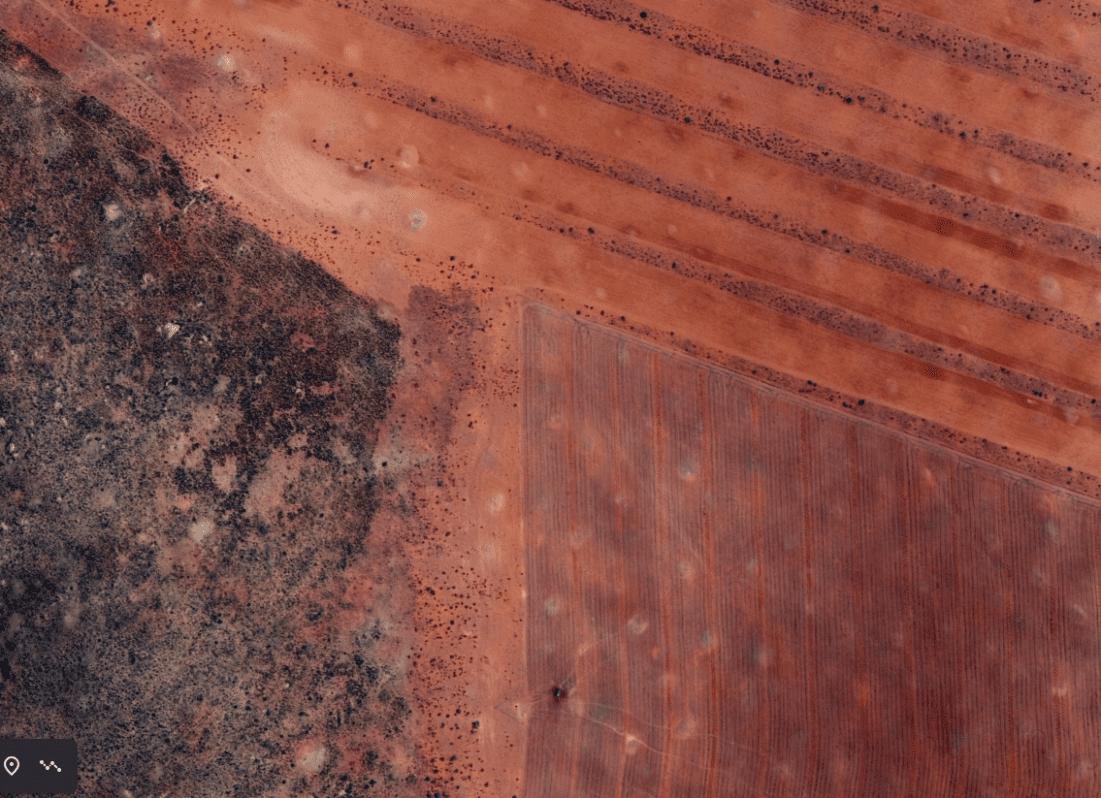
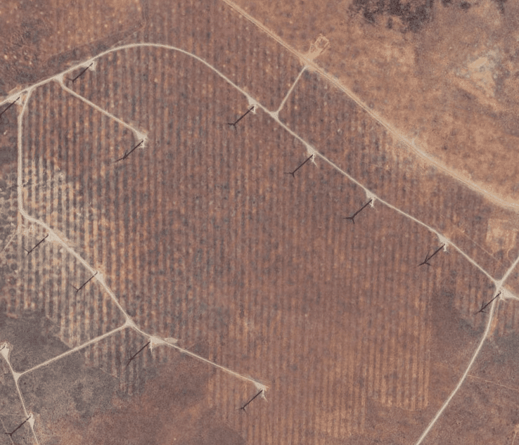
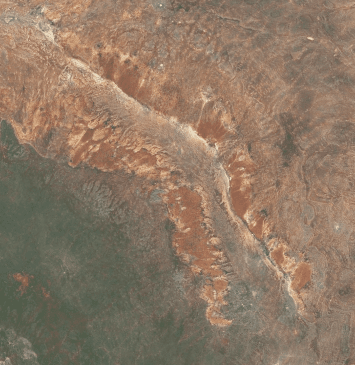
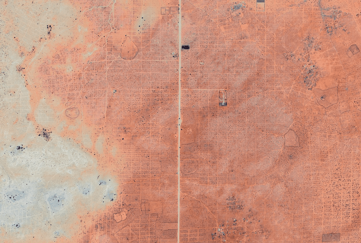
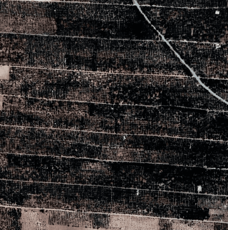
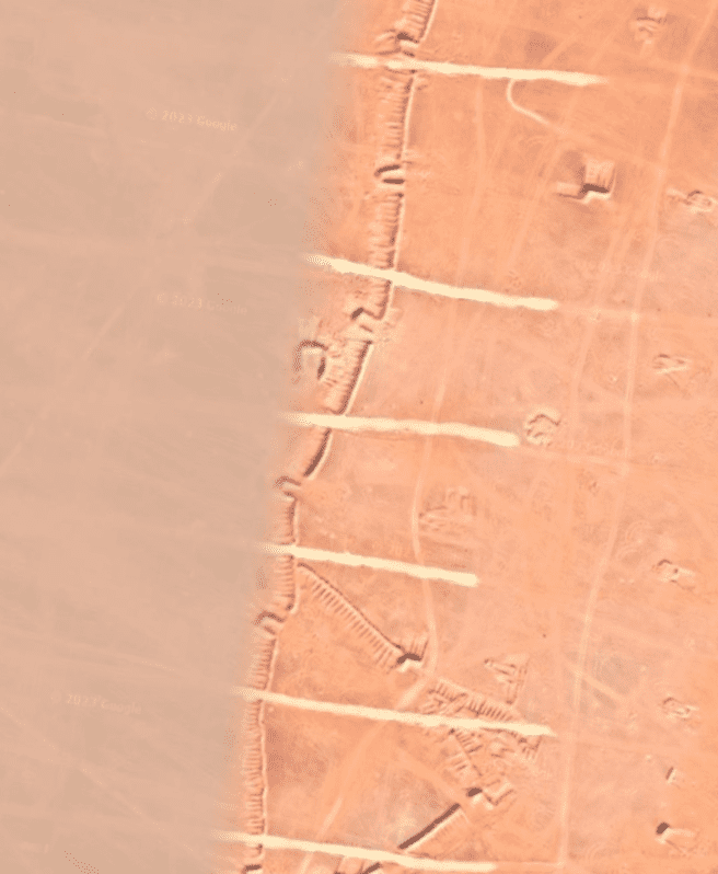

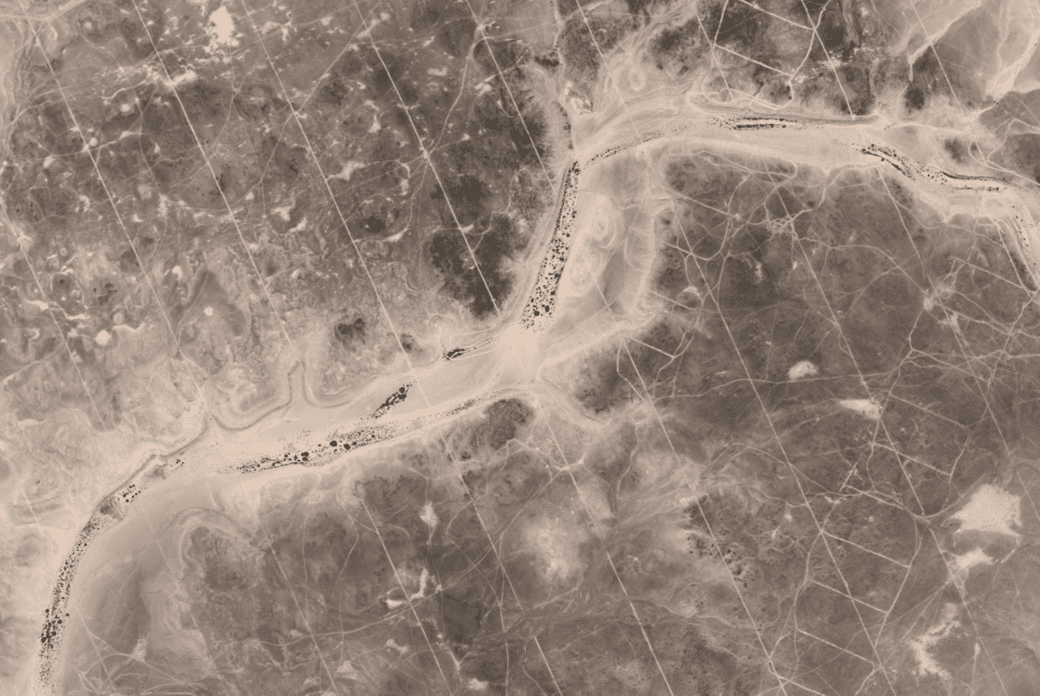
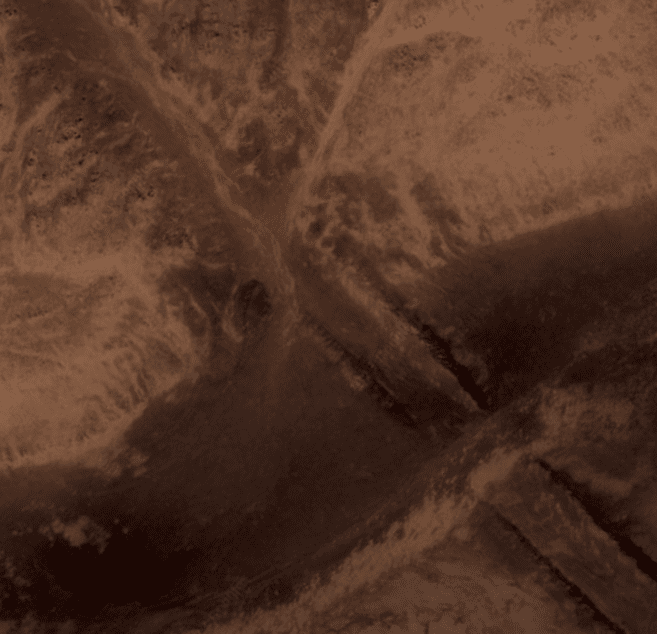
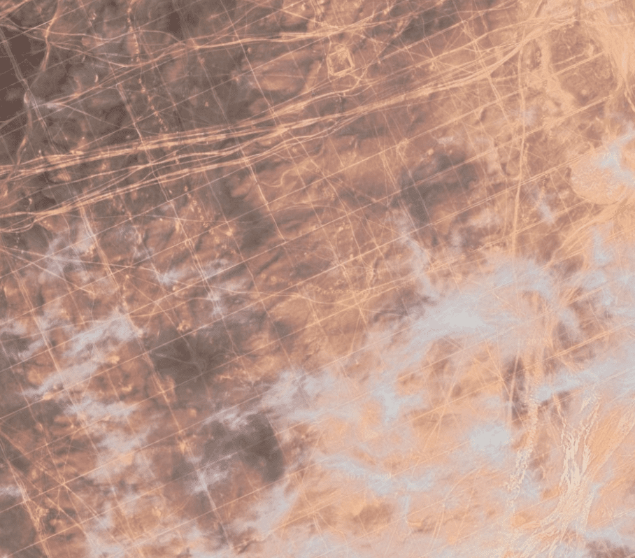
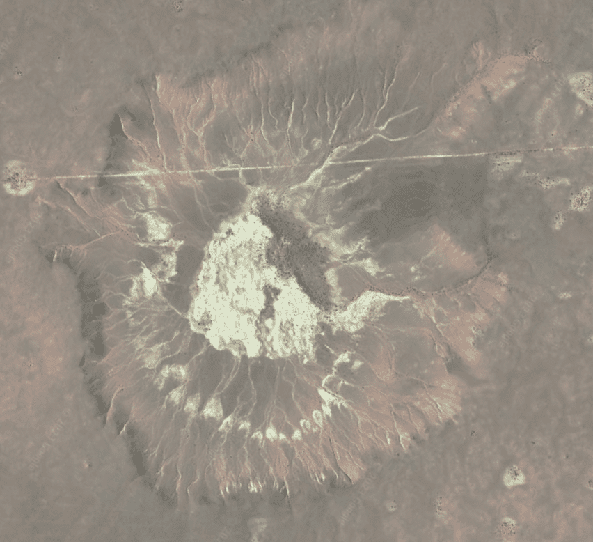
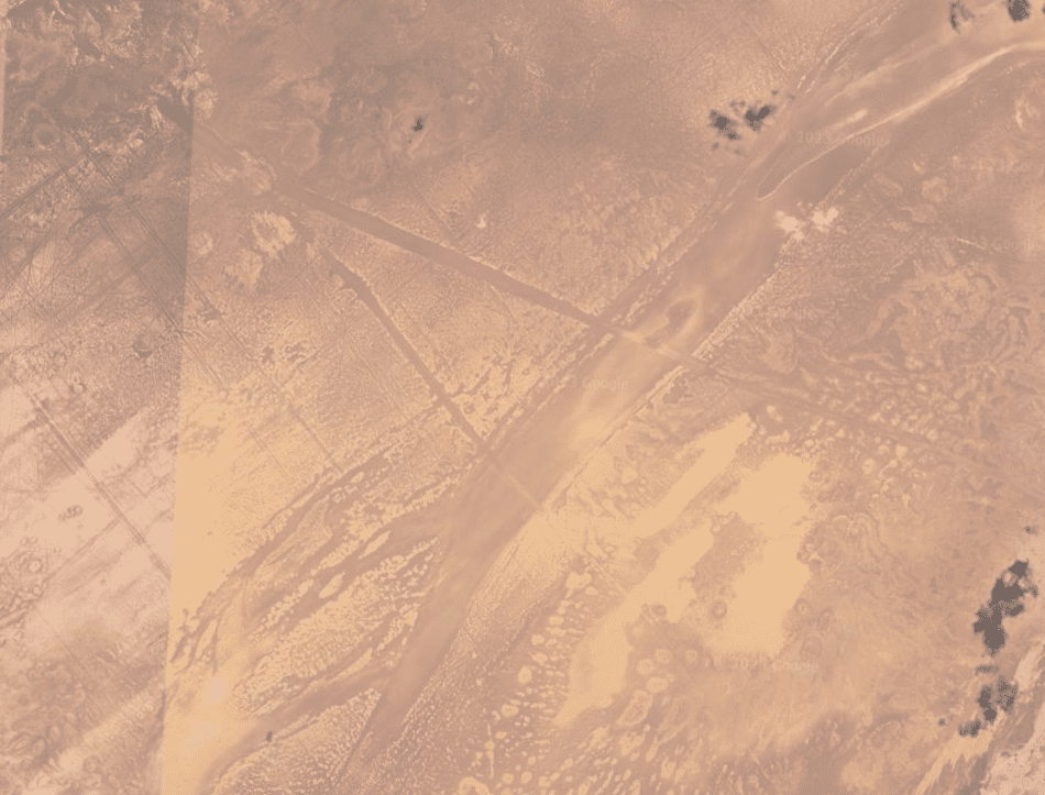
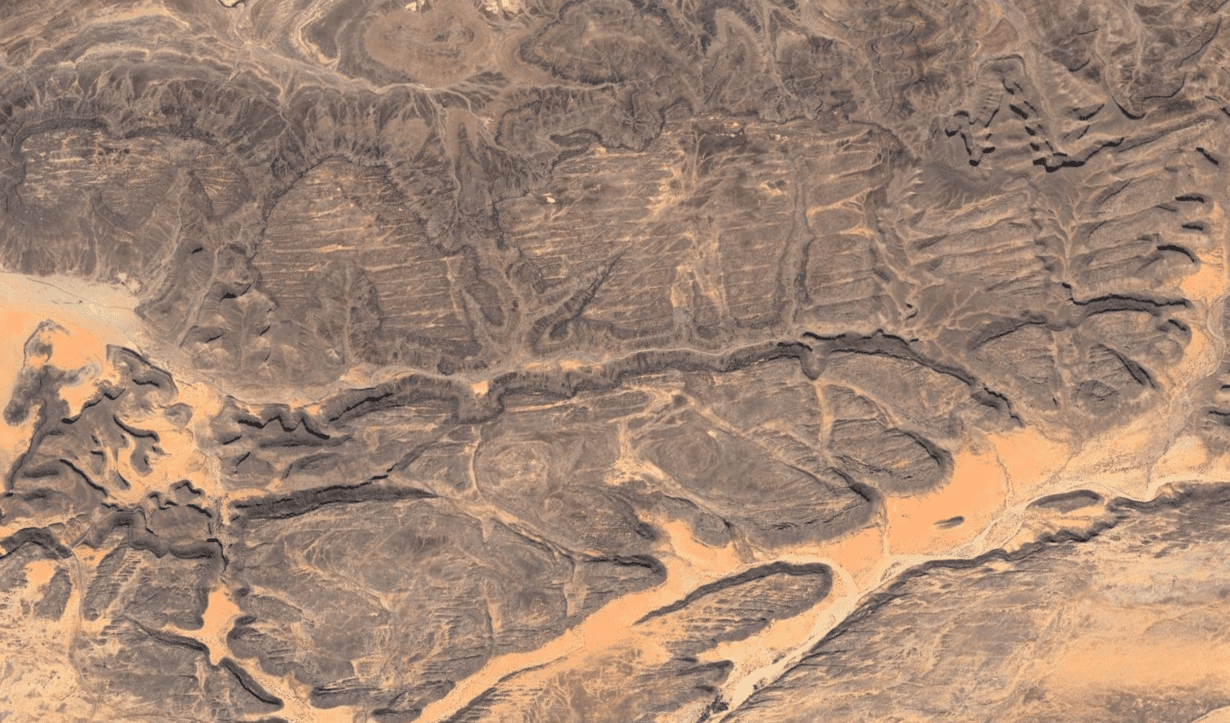
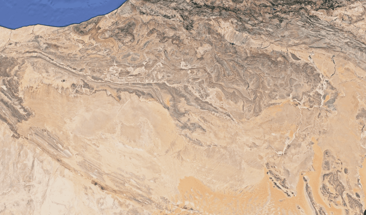
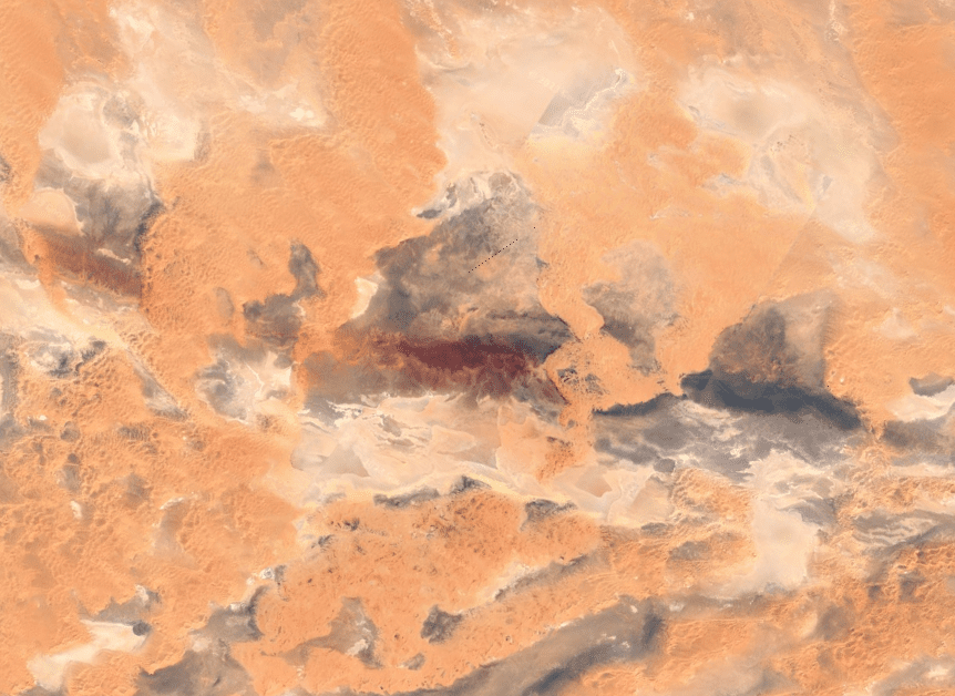
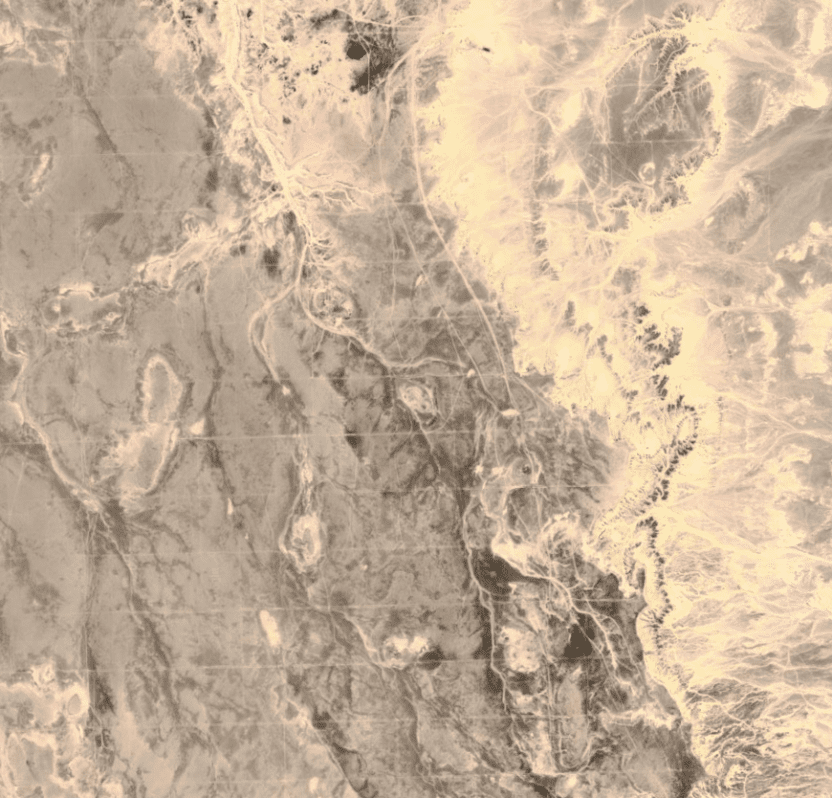
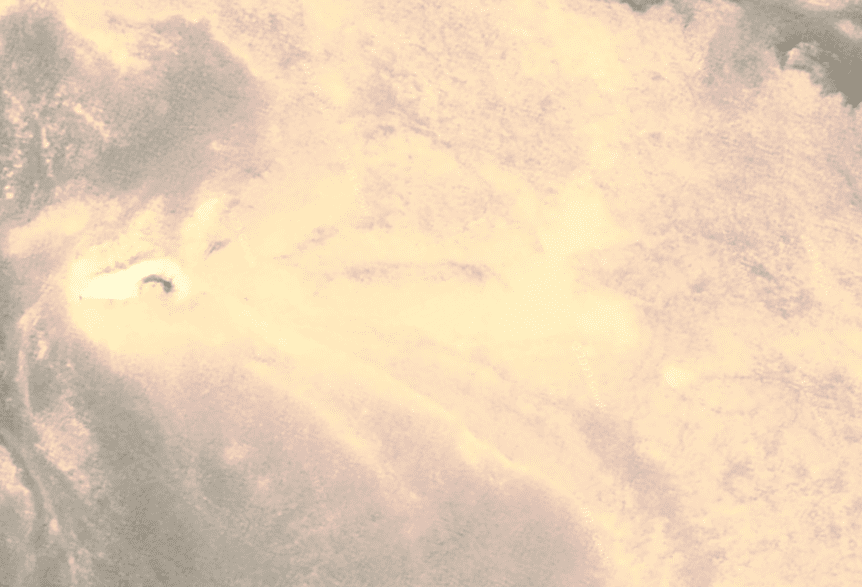

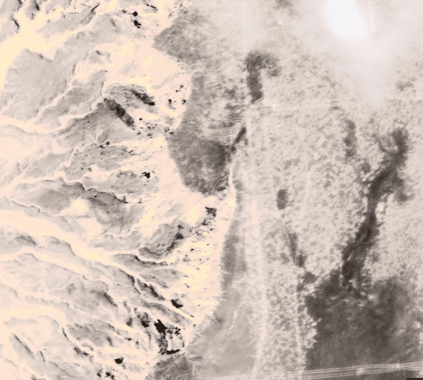
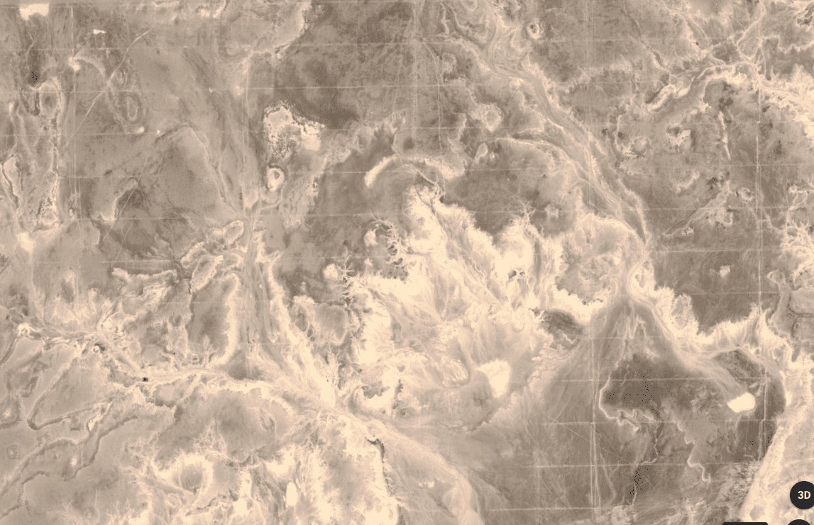

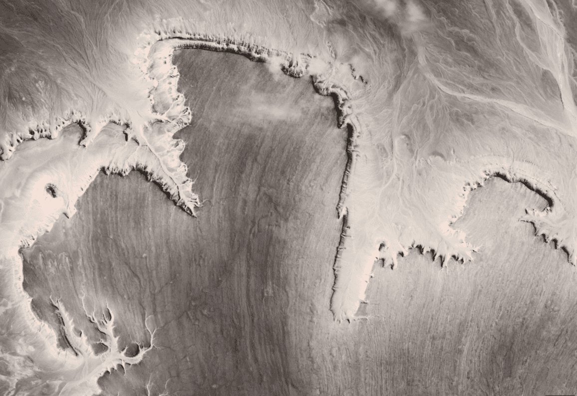
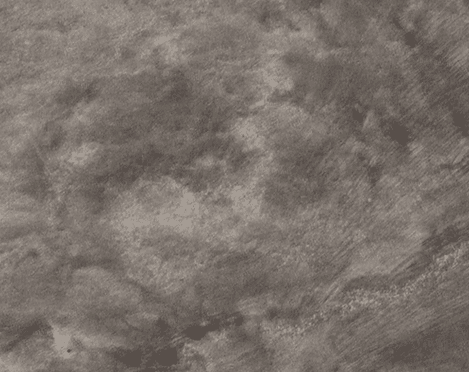
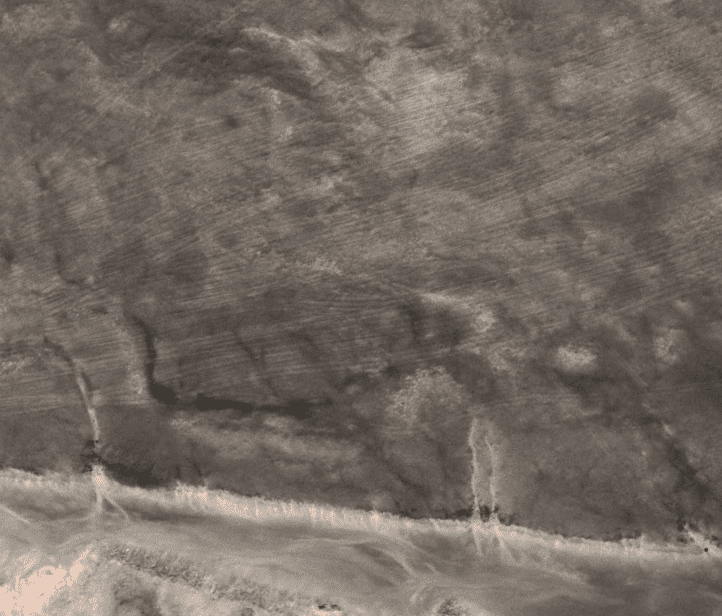
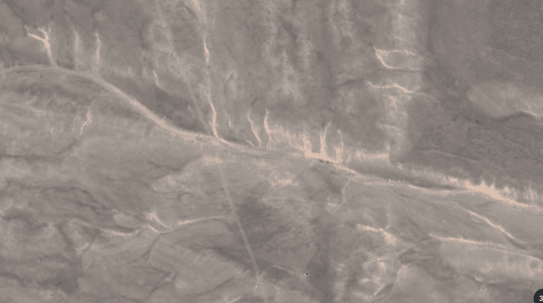
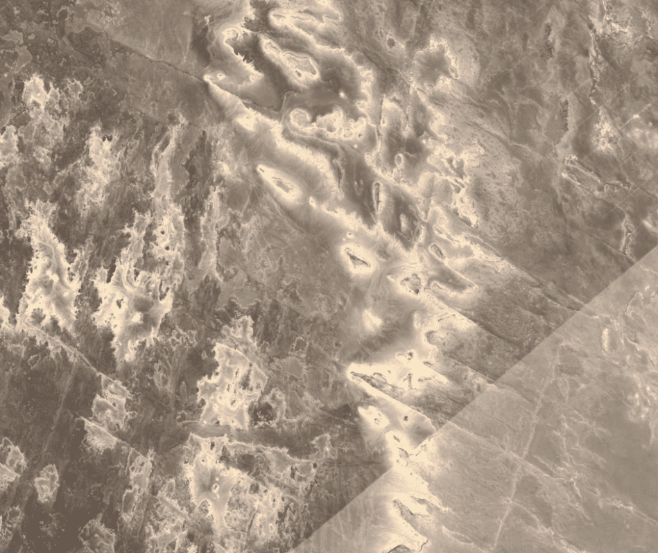

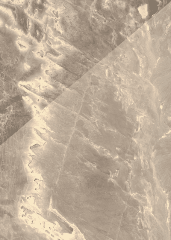
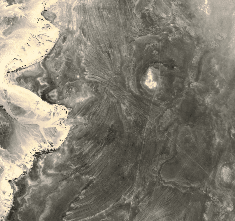
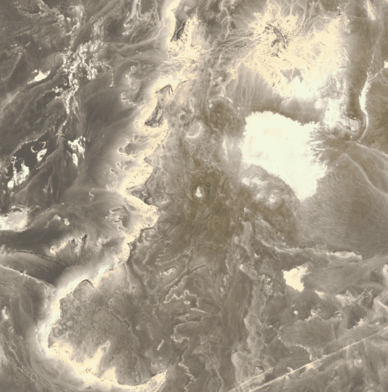
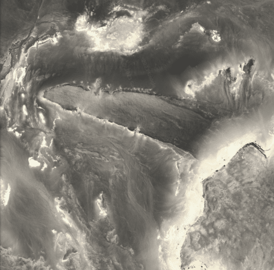

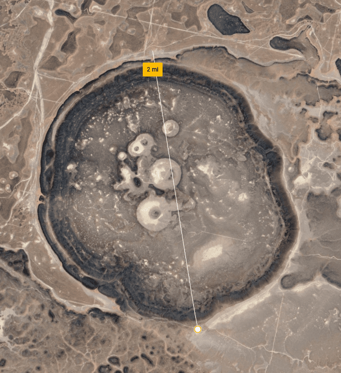
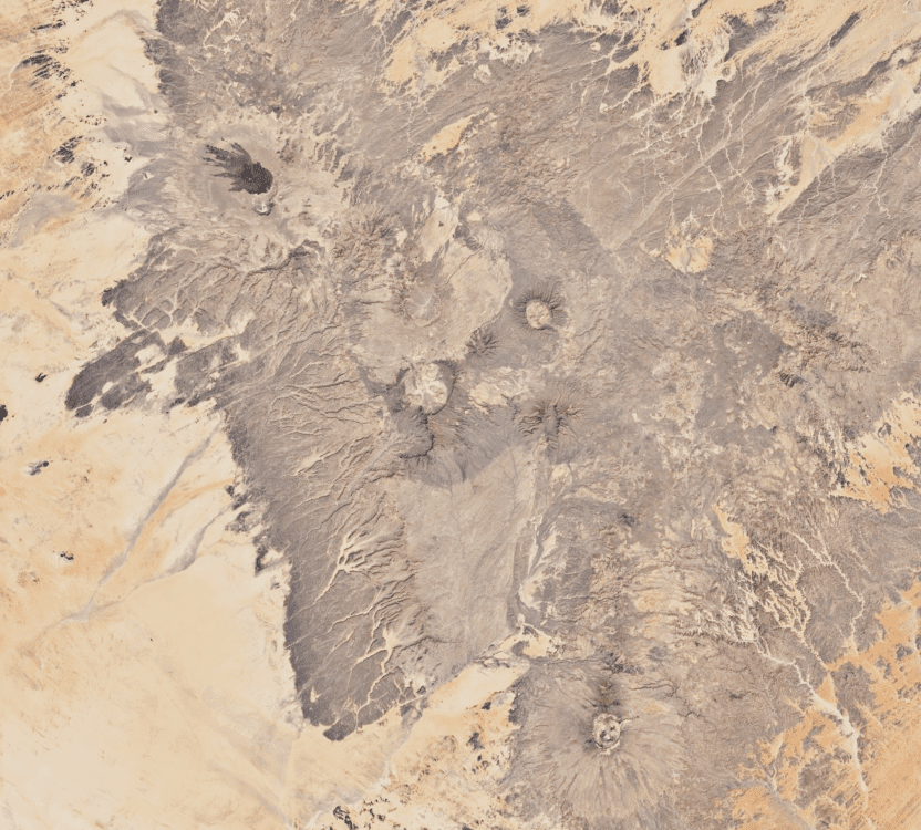
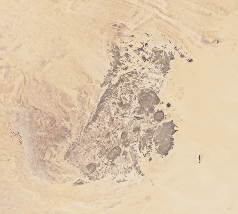
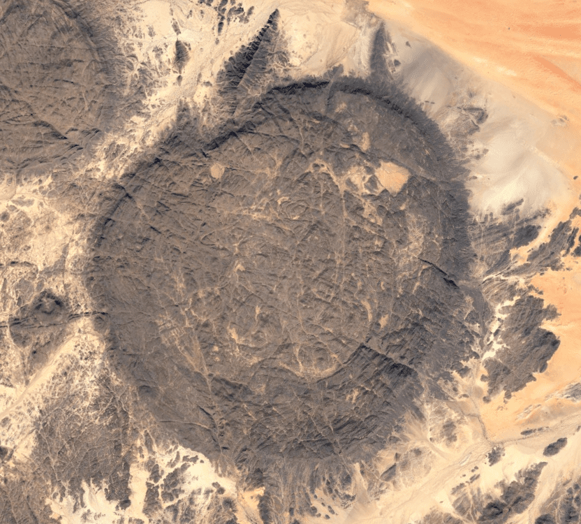
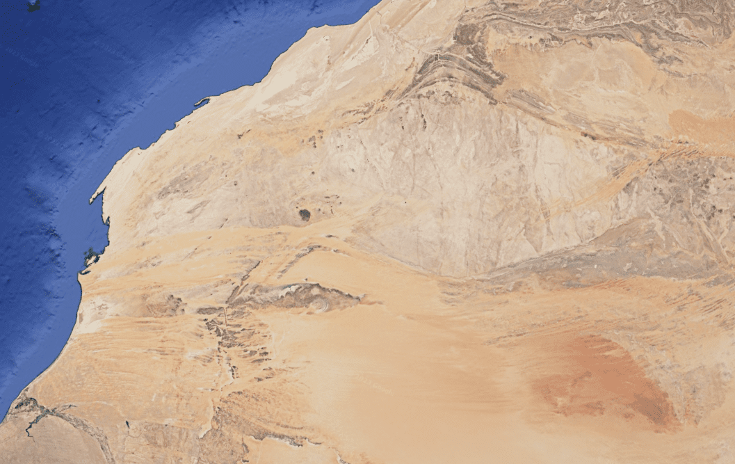
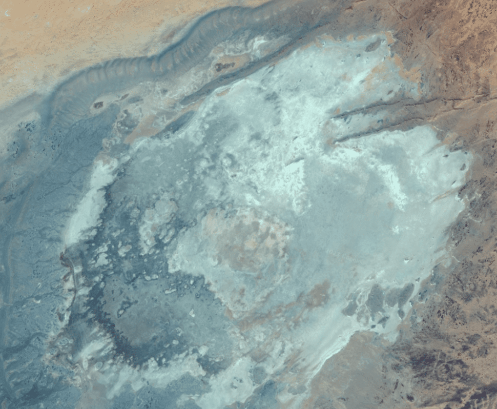
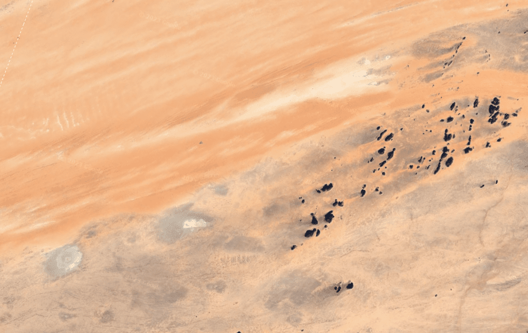
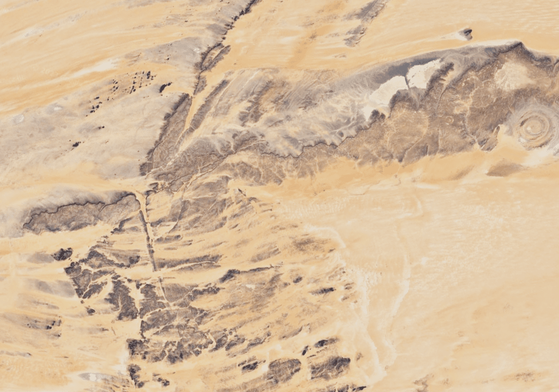
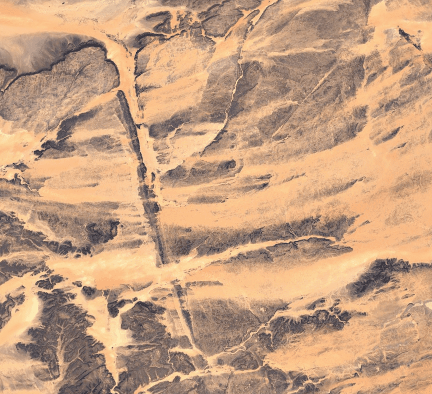
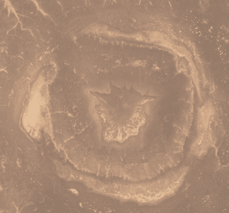
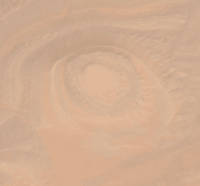
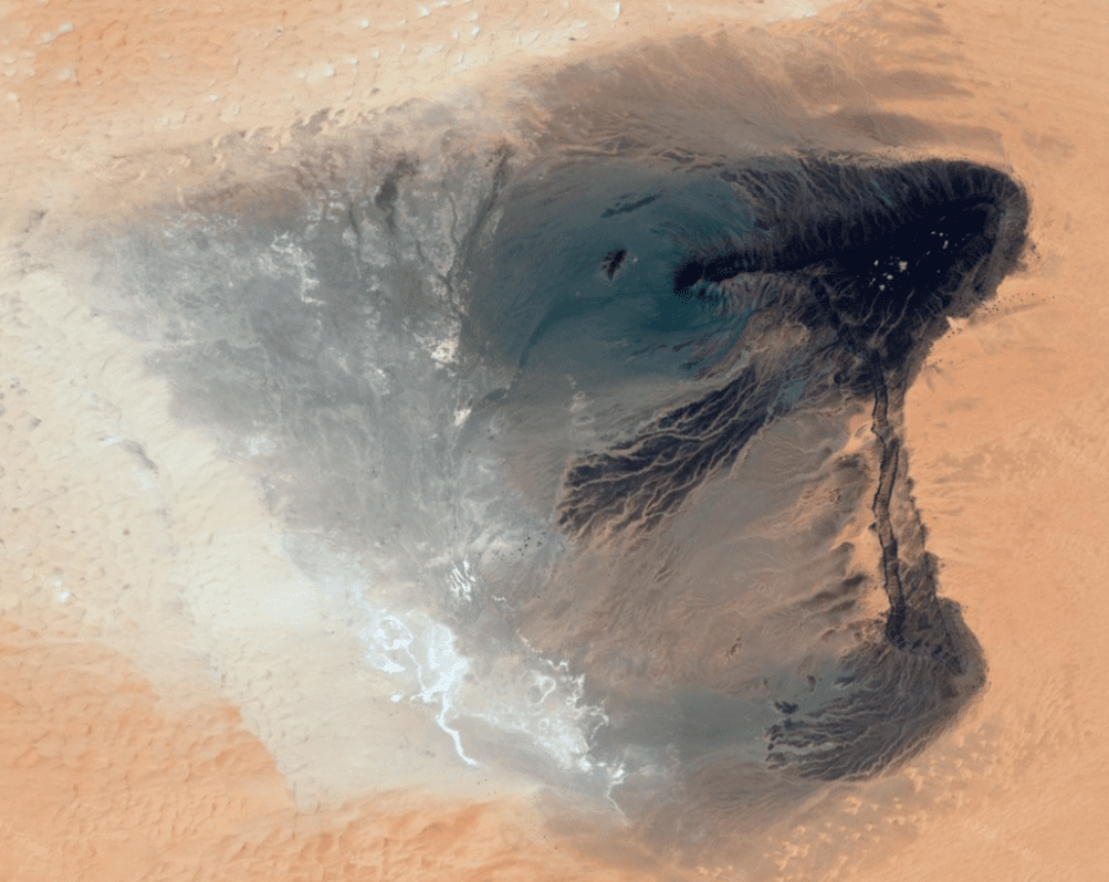
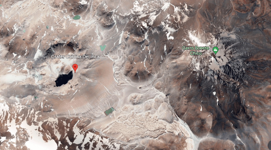
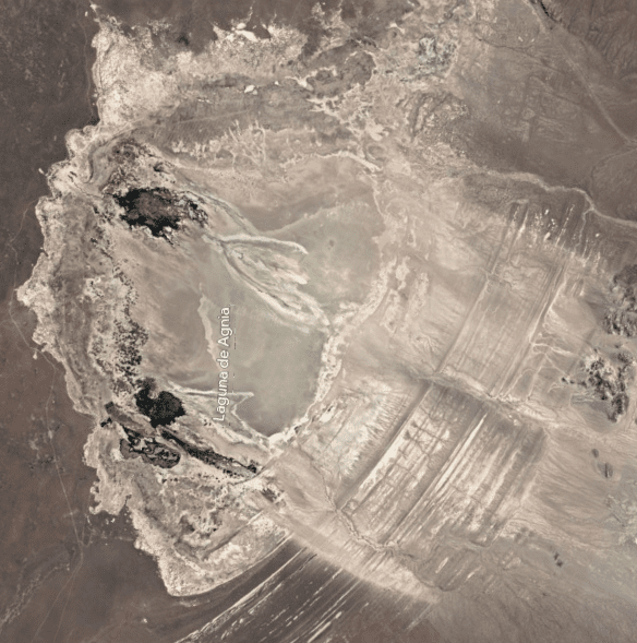
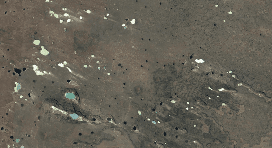
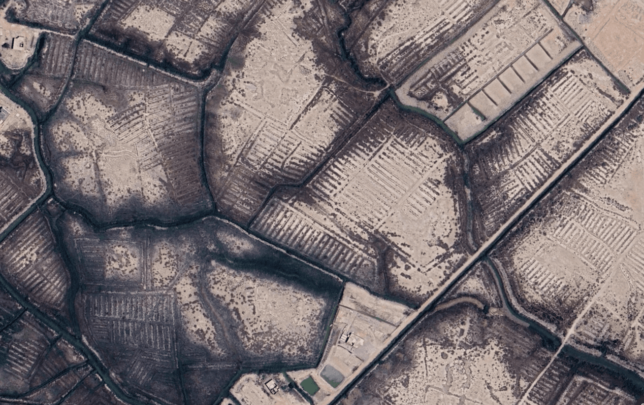
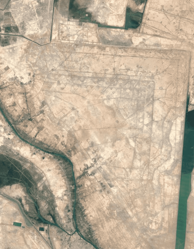
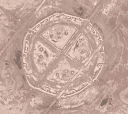
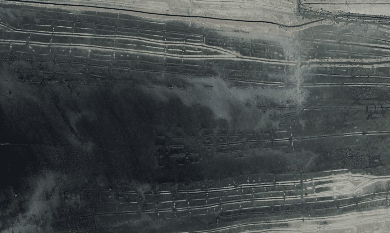
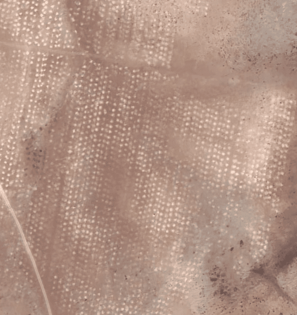
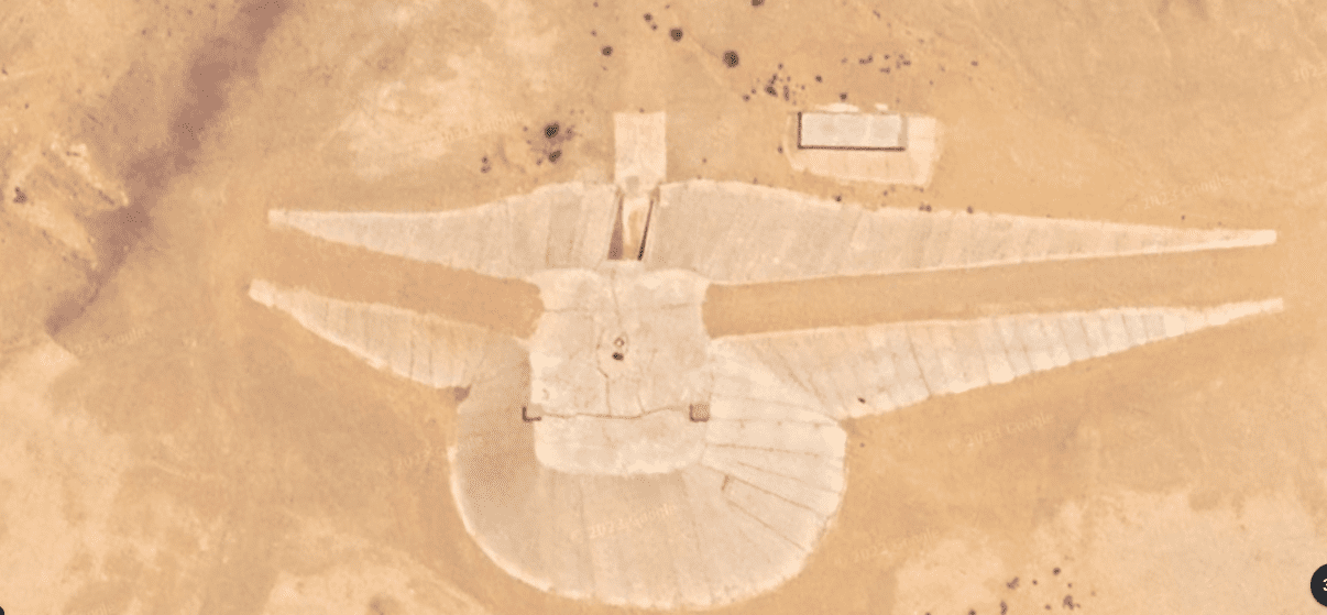
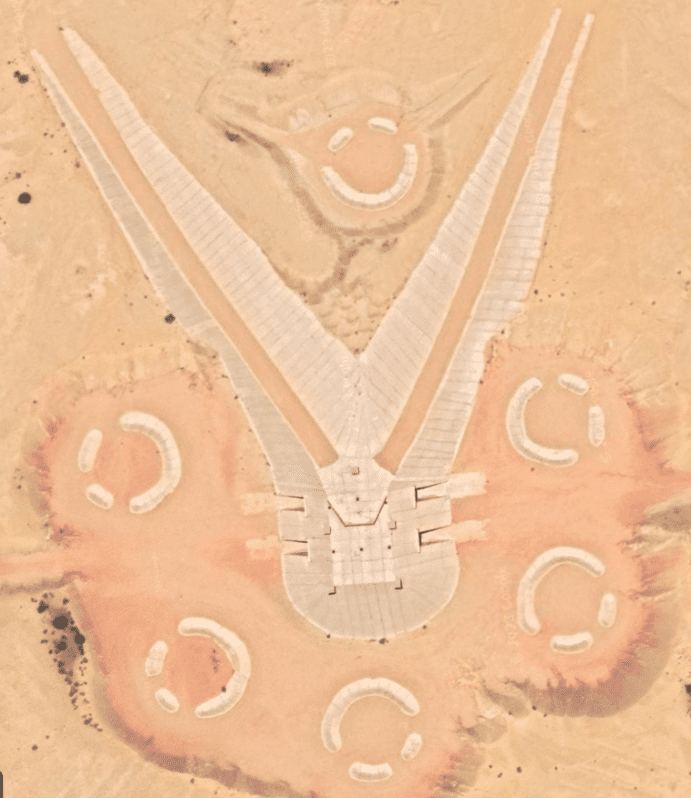
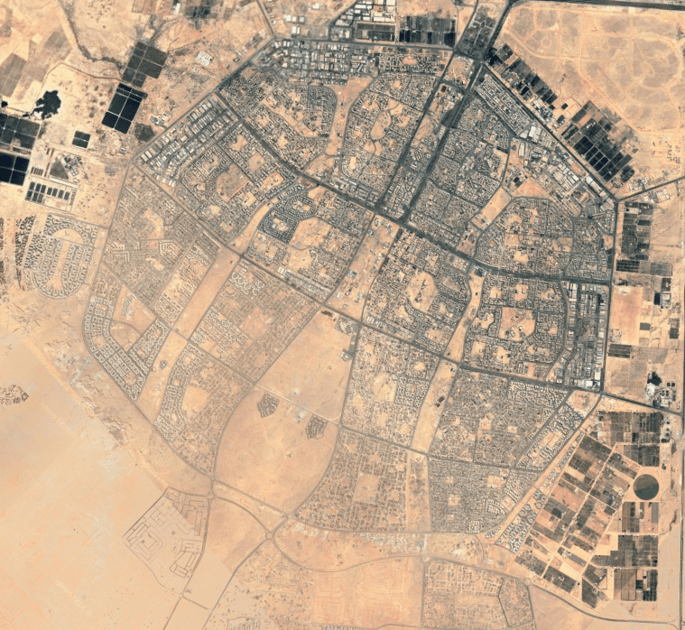
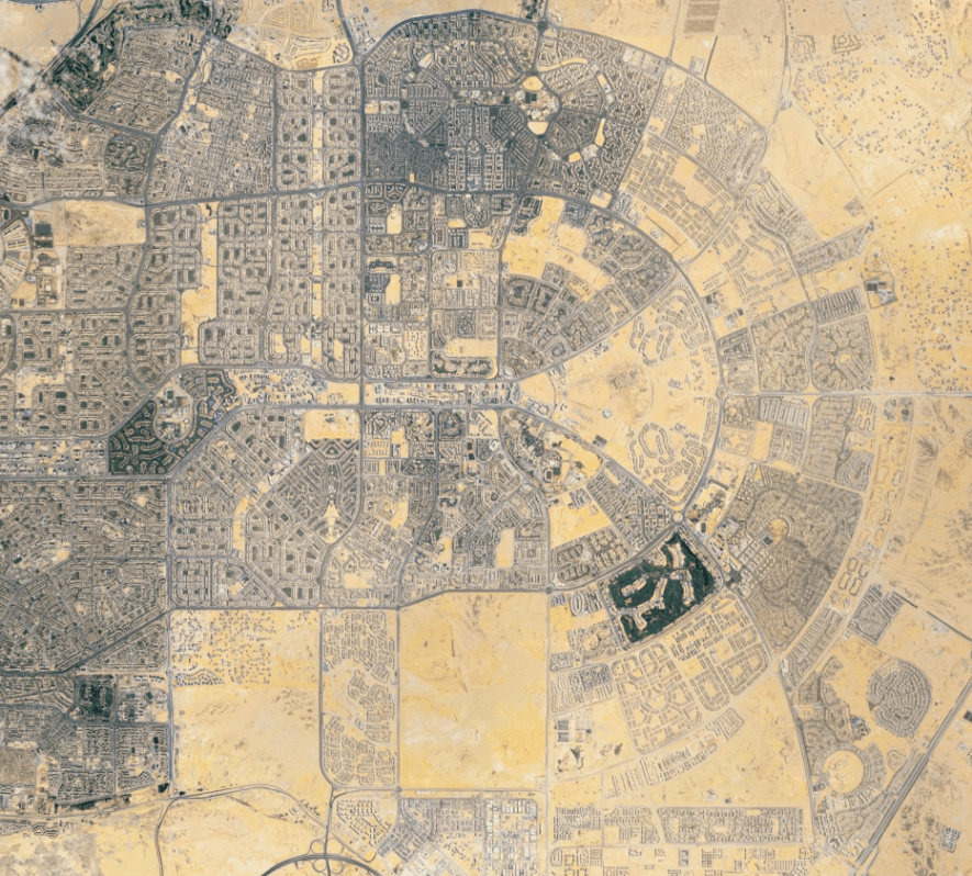
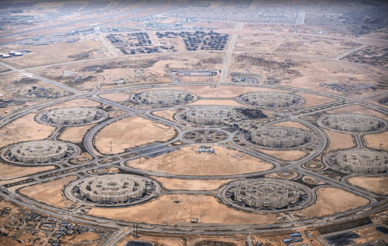
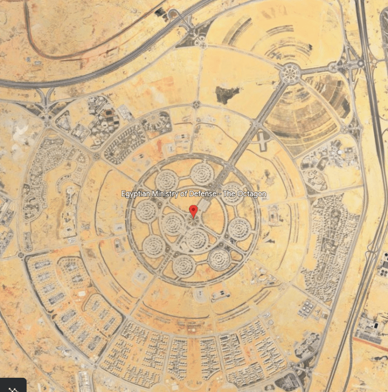
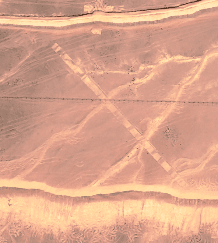
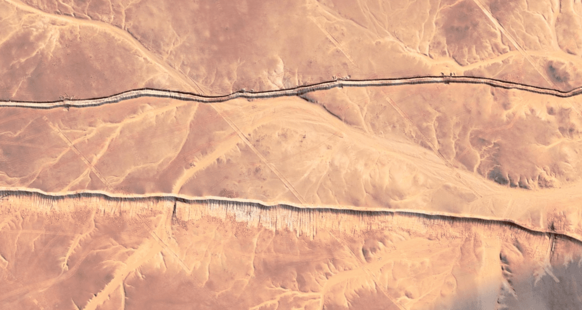
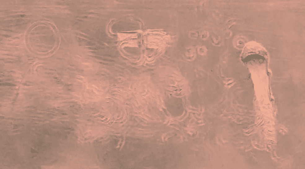
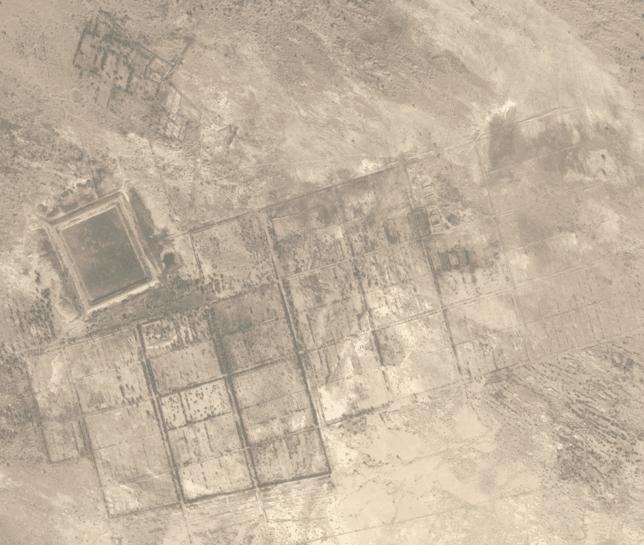

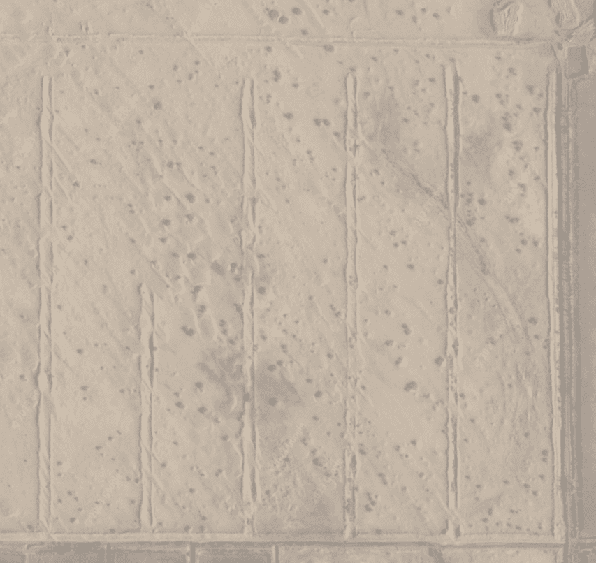
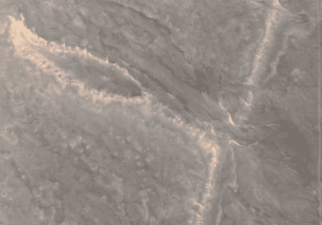
The Oil biz is one of the dirtiest industrial complexes out there. Considering the role Big Oil has played in the development, or lack of development depending on your position, they have been one of the most influential entities thus far.
How far does it go? Where does it stop? I dont even know where I’m going with this yet. So far I just found some cool shit out in the desert I wanted to share. If anyone reading this can help me fill in some blanks pl send me a kite.
If you look around my site you will see fairly quickly I got a thing for canals. We live on a water-based biome yet very few of us have any kind of relationship with the water even though it consists of the larger portion of the area. Most of the population resides within a few miles from the coast but other than a glance out of the car window what role does it play in daily live?
My point is I dont think it has always been like that, in fact I think the lack of water utilization is very new and short lived. The Pre-Reset world was different. They used canals everywhere, like we use asphalt streets.
The evidence is everywhere, just nobody knows what to look for and if they do happen to find something they don’t even know what they’re looking at. This is not their fault, people only know what they’ve been taught, which unfortunately isn’t very much. How to vote and pay taxes.
I have mentioned a few things that are used to cover up evidences of any sort that goes against their false narrative; golf courses, state parks, amusment parks. parking lots. Strip mines have got to be on the list. Any sort of erosion control is usually a cover, as is any large area of young forest.
One thing I have never considered until today are the Oil Fields. Theres a few places I want to share and at the end, who knows, maybe it will lead to an answer, probably it will only lead to more questions.
“What do canals and oil fields have to do with each other?”, I heard you ask. Well maybe nothing, I already said I dont know either, I know enough to understand that the operations going on in remote areas with no oversight or transparency are up to some top level cruddy shit. I’m not talking about the ecological disasters either, this is archeological and historical damage.
Google Earth has been a usful tool, I mean, you have to get over the whole globe thing, and satellites too, but as far as I know its the birds-eye tool available. Two things can be separated by only a few miles but bc it happens to be across an invisible border it falls into a separate compartment and never gets thought of. If you know where to get the thing that sees bed rock through water and vegetation that is what I really would like.
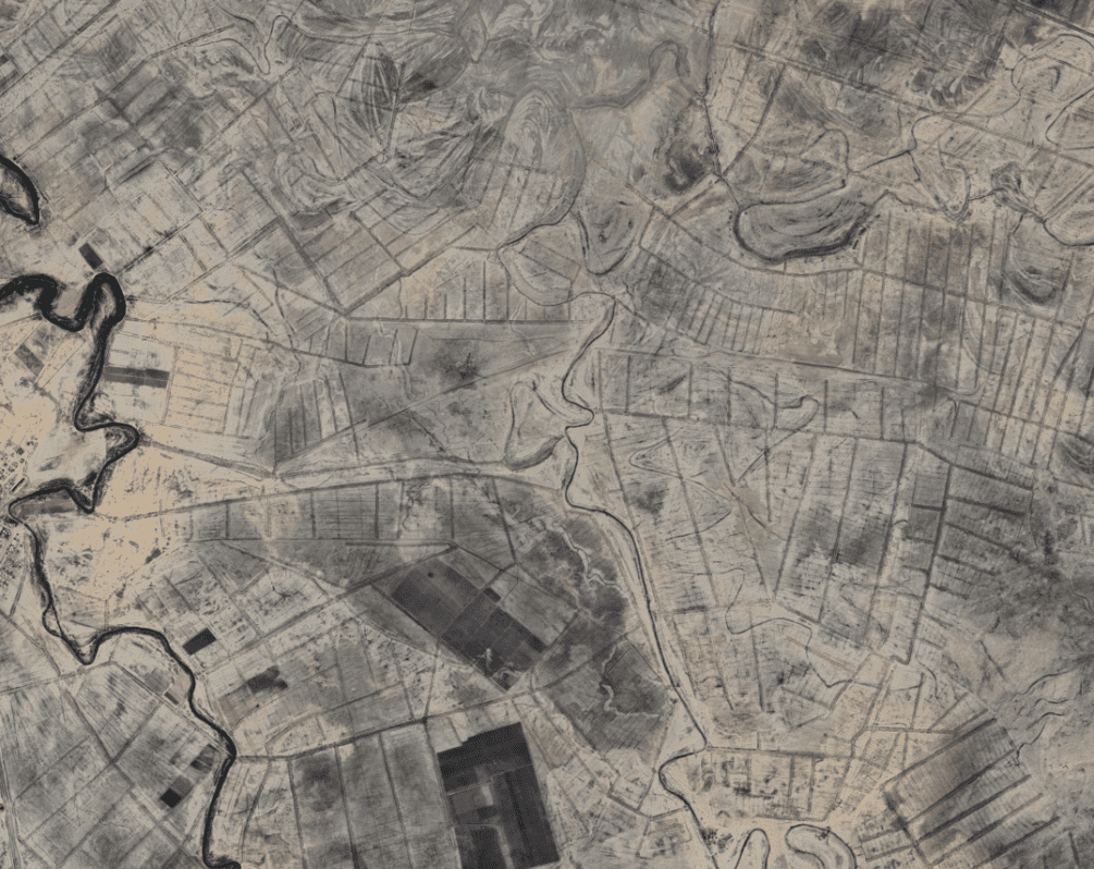
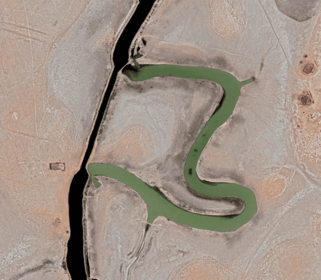
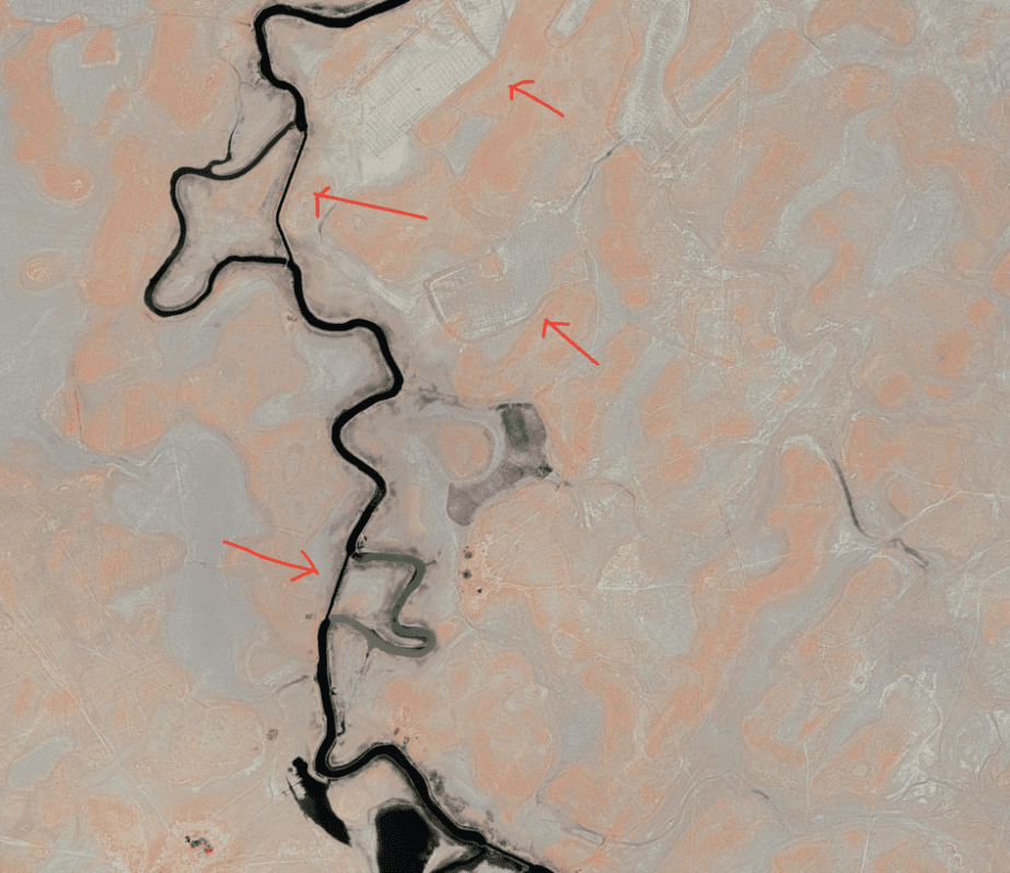
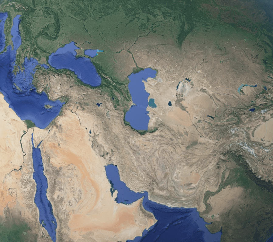
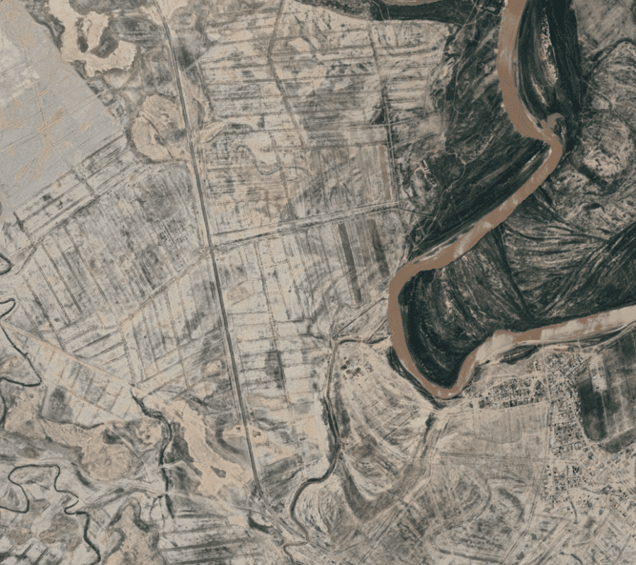
First off lets take a look at a few canal systems still functioning so you can get a feel for what Im saying :


9/11 DEW’s
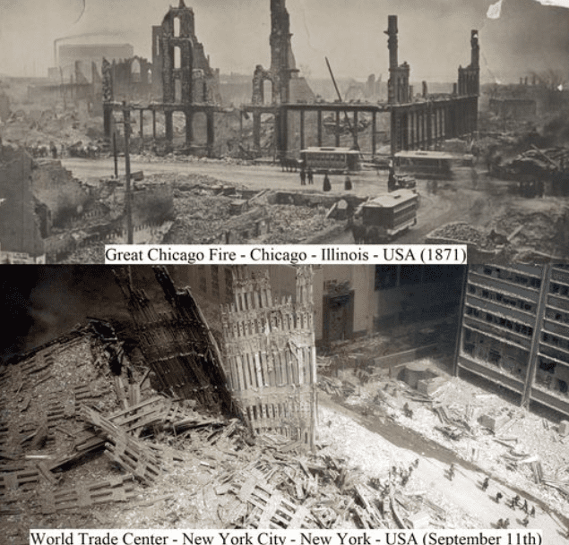
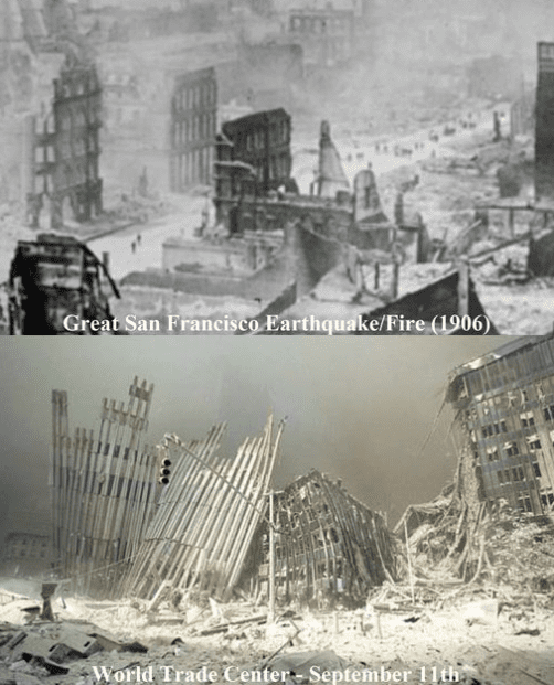
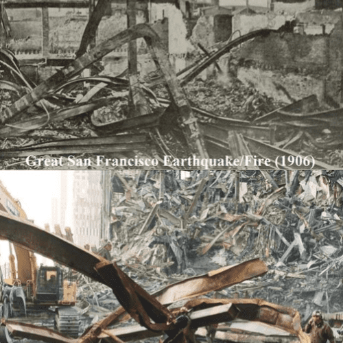
Most ppl only think about directed energy as a weapon and then only when a series of ‘wildfires’is taking place.
